Introduction
Let me start with a confession: when I first started teaching geography fifteen years ago, I found mountain ranges and passes absolutely boring. Just names, heights, and locations to memorize. But then something clicked. I realized these weren't just random geographical features — they were the *highways* of history, the *borders* of empires, and the *lifeblood* of trade routes that shaped modern India.
Think about it this way. When the Aryans came to India, where did they enter? Through the mountain passes of the northwest. When the Mughals invaded, how did they travel? Through the same passes. When Kashmir remained isolated for centuries, why? Because the Himalayas created natural boundaries. Every single major event in Indian history has a geographical reason — and mountains are usually at the centre of it.
So today, I want to help you see these mountains not as boring exam topics, but as characters in India's grand story. By the time we're done, not only will you ace every question on this topic, but you'll actually *understand* why your UPSC examiner keeps asking about them.
Understanding India's Major Mountain Ranges
The Himalayan System: India's Majestic Backbone
The Himalayas are not just mountains — they're an entire *system* of mountains, and this is where most students get confused. When your textbook says "Himalayas," it doesn't mean one range. It means a massive collection of parallel mountain ranges running east to west.
Let me break this down for you, because I've seen too many students lose marks by getting these names mixed up. The Himalayan system has three main divisions running parallel to each other (imagine three lines drawn from Kashmir to Arunachal Pradesh):
The Greater Himalayas (Himadri): This is the northernmost range with the highest peaks. K2 (8,611m) in Ladakh, Kangchenjunga (8,586m) in Sikkim, Makalu, Lhotse — basically all the show-stoppers. This range is permanently snow-covered and doesn't have any significant passes because it's so high and dangerous. When ancient traders wanted to cross the Himalayas, they didn't go through this range.
The Lesser Himalayas (Himachal): Below the Greater Himalayas lies this range with medium heights (3,000-5,000m). Here's where it gets interesting for your exams: this is where you'll find the important *passes* and the major cities. Shimla, Nainital, Mussoorie — all sitting prettily here. Why? Because this range is easier to navigate, and historically, it's been the main route for movement.
The Outer Himalayas (Siwalik): The southernmost range with the lowest heights (600-1,500m). These are the foothills, rolling and green. They're made of younger rocks and are constantly being shaped by rivers. The Doon Valley in Uttarakhand? That's a classic example of a valley formed between the Himachal and Siwalik ranges.
Now here's a trick I tell all my students to remember the order: "Great Ladies Serve" (Greater, Lesser, Siwalik) — from north to south.
The Western Ghats: The Monsoon Guardians
If the Himalayas are India's northern defences, the Western Ghats are its western wall. Running parallel to the Arabian Sea coast for about 1,600 km from Gujarat to Kerala, these mountains play a *crucial* role in India's climate story.
You know how the southwest monsoon hits Kerala in June and brings rain across western India? Well, thank the Western Ghats for that. They act as a barrier, forcing the moisture-laden winds to rise, cool down, and dump their water on the western slopes. Places like Mawsynram in Meghalaya (near the Eastern Ghat offshoot) get nearly 12 metres of rainfall annually — that's literally more than the height of a three-storey building!
The eastern slopes of the Western Ghats, by contrast, remain relatively dry. This creates a "rain shadow effect." It's like nature's own air-conditioning system.
The Eastern Ghats and Other Ranges
The Eastern Ghats run from Odisha down to Tamil Nadu, but they're much less impressive than their western cousins — lower, broken, and discontinuous. They don't block the monsoons like the Western Ghats do, which is why the east coast gets rain differently.
Then you have the Aravalli Range in Rajasthan (one of the world's oldest mountain ranges, actually!), the Vindhya Range, the Satpura Range, and the Deccan Plateau edges. Each has its own story in Indian geography and history.
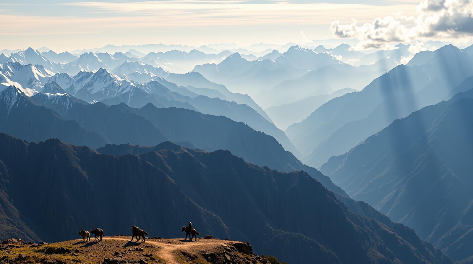
The Critical Mountain Passes: India's Historical Gateways
Now, this is where things get really interesting — and this is where your UPSC/SSC questions almost *always* come from. A mountain pass is simply a low point or gap between mountains that allows easier passage. In Indian history, these passes weren't just geographical features; they were the *keys to the kingdom*.
The Northwestern Passes: Invasion Routes
These are the most historically significant passes in India because every major invader had to come through here. Think about it — to enter India from Central Asia or Persia, where would you come? Through the mountain gaps!
The Khyber Pass: This is the most famous one, sitting at about 1,067m elevation between Afghanistan and Pakistan (modern-day boundary). Historically, it was the main route from Central Asia into the Indian subcontinent. Aryans, Persians, Greeks under Alexander, Afghans, Mughals — they all came through here. Even today, it's one of the most strategically important passes in Asia. In your exam, whenever they ask "which pass did the early Aryans use?" the answer is almost always Khyber or Bolan Pass.
The Bolan Pass: Located in Balochistan (now Pakistan), this pass served as the southwestern gateway to India. It's about 1,786m high and was another major route for armies and traders.
The Hindukush Pass: This is more of a general corridor through the Hindu Kush mountains, rather than a single pass. It connected Central Asia to the Indian subcontinent.
Here's my memory trick for these: "Khaki Bolan Hindus" (Khyber, Bolan, Hindu Kush) — sounds weird, but it sticks in your head, doesn't it?
The Himalayan Passes: The Kashmir and Tibetan Routes
These passes are in the heart of the Himalayas and have been crucial for trade, especially the Silk Road. They're higher and often snow-blocked in winter, which is why ancient traders preferred the northwestern passes, but they're still incredibly important.
The Pir Panjal Pass: Located in Himachal Pradesh at about 3,480m, this connects the Kangra Valley to the Sutlej Valley. It's one of the easier Himalayan passes and was used for trade and military movement.
The Rohtang Pass: At 3,978m, this lies between Himachal Pradesh and Ladakh. If you've heard of the Leh-Manali highway (famously dangerous and scenic), this pass is on that route. In recent years, they're building a tunnel here to keep it open year-round.
The Chang La Pass: Around 5,059m, this connects Ladakh to Tibet. It's one of the highest motorable passes in India.
The Nathu La Pass: At 4,310m, this connects Sikkim to Tibet and is historically significant because the Silk Road passed through here. It was closed after the 1962 Indo-China war but reopened in 2006 for trade.
The Himalayan passes were less important for invasions (too high, too dangerous) but absolutely crucial for trade. The Silk Road didn't use the northwestern passes; it came through these higher routes because once you're in Ladakh or Tibet, you control the eastern trade corridor.
The Western Ghats Passes
These passes were historically important for south Indian kingdoms and later for the British to control the Deccan Plateau.
Bhor Ghat and Khopoli Ghat: These passes in Maharashtra were crucial for connecting the coastal regions to the Deccan. The British built incredible engineering marvels here — the old stone roads and later the railway lines through these ghats are still standing.
Pal Ghat (Palakkad Gap): The only significant pass through the Western Ghats in southern India, located between Kerala and Tamil Nadu. Historically, whoever controlled this gap controlled trade between the coasts and the interior.
Why These Mountains and Passes Matter for Your Exam
I know what you're thinking: "Sir, this is a lot of information. How will this help me in my exam?" Let me tell you, questions on mountains and passes fall into very predictable patterns, and once you understand the patterns, you'll see the logic.
Pattern 1 — Historical significance: "Which pass did the Aryans use to enter India?" The answer logic: It has to be a northwestern pass (Khyber, Bolan, or Hindukush). Why? Because that's where Central Asia connects to India.
Pattern 2 — Climate and geography: "Which mountain range blocks the southwest monsoon?" Western Ghats. "Which creates the rain shadow?" Eastern slopes of any mountain range perpendicular to wind direction.
Pattern 3 — Modern geopolitics: "Which pass connects India to Tibet and was reopened for trade in 2006?" Nathu La. These questions test whether you understand why mountains matter *today*, not just in history.
Pattern 4 — Height and characteristics: Questions like "Which is the highest motorable pass?" (Chang La) or "Which Himalayan range has no significant passes?" (Greater Himalayas — because it's too high).
| Pass/Range | Location | Height | Historical/Modern Significance |
|---|---|---|---|
| Khyber Pass | Afghanistan-Pakistan border | 1,067m | Gateway for Aryans, Mughals, all major invaders |
| Bolan Pass | Balochistan (Pakistan) | 1,786m | Southwestern gateway to India |
| Rohtang Pass | Himachal Pradesh | 3,978m | On Leh-Manali highway; tunnel being built |
| Chang La Pass | Ladakh-Tibet | 5,059m | Highest motorable pass in India |
| Nathu La Pass | Sikkim-Tibet | 4,310m | Silk Road route; reopened for trade in 2006 |
| Pal Ghat | Kerala-Tamil Nadu | ~300m | Only major gap in Western Ghats |
| Western Ghats | West coast, Gujarat to Kerala | 500-2,400m | Blocks SW monsoon; creates rainfall |
| Eastern Ghats | Odisha to Tamil Nadu | 400-1,600m | Lower, discontinuous; doesn't block monsoons |
Quick Recap and Memory Aids
Before we get to the practice questions, let me give you three memory tricks that have helped hundreds of my students:
Trick 1 — For Himalayan divisions: "Greater Ladies Serve" (Greater, Lesser, Siwalik — from north to south).
Trick 2 — For northwestern invasion passes: "Khaki Bolan Hindus" (Khyber, Bolan, Hindu Kush).
Trick 3 — For remembering which mountains block monsoon: Think of it as "West blocks West wind." The Western Ghats block the westerly (actually southwestern) monsoon winds coming from the Arabian Sea.
One final thought before the questions. Geography isn't about memorization — it's about understanding *why* things are where they are. Why did the Mughals come through the Khyber Pass? Because it's the easiest passage through the northwestern mountains. Why is Shimla important? Because it sits in the Lesser Himalayas where the terrain is manageable. Why does Kerala get so much rain? Because the Western Ghats force moist winds up and down. Once you understand the *why*, the rest follows naturally.
Practice Questions
A) Khyber Pass B) Nathu La Pass C) Bolan Pass D) Hindukush Pass
Answer: B) Nathu La Pass. While Nathu La is on the Silk Road trade route, it's too high and difficult for large armies to use for invasions. The northwestern passes (Khyber, Bolan, Hindukush) were the main invasion routes because they were relatively easier to traverse with armies and supplies.
A) Greater Himalayas (Himadri) B) Lesser Himalayas (Himachal) C) Siwalik D) Trans-Himalaya
Answer: B) Lesser Himalayas (Himachal). These towns are located in the Lesser Himalayas because this range has moderate elevations (3,000-5,000m) making them habitable and accessible. The Greater Himalayas are too high and permanently snow-covered.
A) The mountain range preventing wind movement B) Moisture-laden winds losing moisture while crossing the range C) The reversal of monsoon winds D) The presence of the Arabian Sea
Answer: B) Moisture-laden winds losing moisture while crossing the range. The southwestern monsoon winds pick up moisture from the Arabian Sea, rise when they hit the Western Ghats, cool down, and release moisture on the western (windward) side. By the time they descend on the eastern side, they're dry, creating a rain shadow.
A) Chang La Pass B) Nathu La Pass C) Rohtang Pass D) Pir Panjal Pass
Answer: B) Nathu La Pass. This pass in Sikkim-Tibet border was historically on the Silk Road. After closure following the 1962 war, it was reopened in 2006 for trade, significantly boosting commercial relations between India and China in that region. It remains one of the most strategically important border passes.
A) It is the highest pass in the range B) It is the only major gap allowing passage through the range C) It receives the maximum rainfall D) It is the most recently formed pass
Answer: B) It is the only major gap allowing passage through the range. Pal Ghat (Palakkad Gap) between Kerala and Tamil Nadu is the only significant break in the entire 1,600 km Western Ghats range. Historically, this made it crucial for trade and military movement between coastal and inland regions of south India.
Hope this deep dive into Indian mountains and passes has made the topic clearer for you! The key is to stop seeing these as random names and start seeing them as characters in India's geographical and historical narrative. Drop a comment below if you have questions or if you'd like me to cover any specific pass or range in more detail. All the best for your exams! 🎯
Published by Dattatray Dagale • 26 May 2026
.jpg)
.png)


.png)

.png)


0 Comments