Introduction
You know what I've noticed after teaching thousands of SSC CGL and UPSC aspirants? Mountain ranges and passes are like that one actor who appears in every Bollywood film—sometimes as the hero, sometimes as the villain, but always crucial to the plot. Geography exams absolutely love testing this topic, and honestly, once you understand the "why" behind these mountains and passes, you'll find yourself naturally remembering them.
Let me be honest with you. When I first started teaching, I thought students would find this topic boring. "Just mountains and passes," right? Wrong. This is where geography becomes a detective story—where India's entire history, climate patterns, and culture are literally shaped by these physical features. The Himalayas aren't just high mountains; they're India's climate controller, defense wall, and water source all rolled into one.
In the next 15 minutes, we're going to journey through India's mountain systems in a way that'll actually make sense. I promise you won't need to memorize random names. Instead, you'll understand them.
The Himalayan System: India's Northern Crown
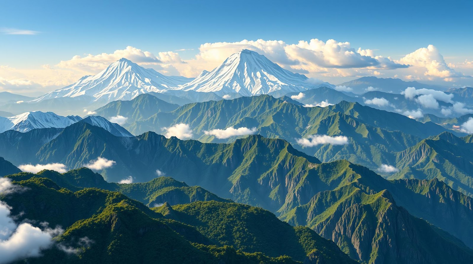
Let's start with the big one—literally. The Himalayas aren't just a mountain range; they're a complex system that stretches over 2,400 kilometers from Kashmir to Arunachal Pradesh. I always tell my students: if India were a person, the Himalayas would be the crown, the spine, and the immune system all combined.
The Three Divisions You Actually Need to Remember
Here's a trick I share with everyone: think of the Himalayas like three generations of a family—the great-grandfather (oldest and farthest), the grandfather (middle), and the grandson (youngest and closest to the plains). This is how geologists actually categorize them!
The Trans-Himalayan or Tibetan Range: This is your great-grandfather—the highest, the most northern, and the most dramatic. Sitting north of the main Himalayan chain, this includes the Karakoram range. Now here's something that blows students' minds: K2, the second-highest mountain in the world, isn't in the main Himalayas at all—it's in the Karakoram. But you know what? For most UPSC and SSC exams, they still ask about it in the Himalayan context because geographically it's connected. The Karakoram Pass at 5,575 meters is one of those passes you absolutely need to know.
The Greater Himalayas (Himadri): This is the main chain—the real deal. This contains all the heavy hitters: Mount Everest (8,848m), Kangchenjunga (8,586m), Makalu, Cho Oyu. These mountains have permanent snow cover throughout the year. When I teach this, I remind students: "Greater" doesn't mean physically bigger than the next range; it means greater in elevation. It's the highest range of the Himalayan system. The passes here are genuinely challenging: the Niti Pass, Mana Pass, and Trishul Pass connect India with Tibet.
The Lesser Himalayas (Himachal): Don't let the name fool you. These aren't "lesser" in importance—they're just lower in elevation (about 1,000-4,500 meters). But they're incredibly important because they're where your Shimla, Mussoorie, and Nainital hill stations sit. These are the transition zones between the plains and the high mountains. The Pir Panjal Range is the main range here, and it gets plenty of rainfall, making it agriculturally significant.
Key Himalayan Passes That Always Come in Exams
Let me give you a mnemonic that actually works. I call it "LAMINATE"—five important passes on the India-Tibet border:
Lipulekh (4,800m) – westernmost, used for pilgrimages to Kailash
Aorinachal – actually Tawang pass, in the northeast
Mana (3,519m) – connects Uttarkashi to Tibet
Intent? Remember Niti (3,660m) – another Uttarakhand pass
Those eastern ones? Shipping-la near Tawang
Okay, that mnemonic got a bit complicated. Let me simplify. Just remember these four with a real story: Lipulekh is where pilgrims go. Niti and Mana are siblings (both in Uttarakhand). Shipki La is in Himachal. Tawang Pass is the northeastern gateway. Done!
The Eastern and Western Mountain Ranges: India's Side Guards
The Western Ghats: The Monsoon's Best Friend
If Himalayas are the northern crown, the Western Ghats are the western shield. These mountains run parallel to the western coast, stretching about 1,600 kilometers from Gujarat to Tamil Nadu. And here's the incredible part—these mountains actually control India's monsoon!
You see, the southwest monsoon winds hit the Western Ghats and are forced to rise. As they rise, they cool down, and all that moisture condenses into rain. This is why places like Mawsynram and Cherrapunji (in the Eastern Himalayas foothills, but same principle) get some of the heaviest rainfall in the world. The Western Ghats create what we call a "rain shadow" effect on their eastern side—the Deccan Plateau gets less rain because the moisture has already fallen on the western slopes.
Now, the Western Ghats are a biodiversity hotspot. They're narrower and lower than the Himalayas (600-2,400 meters), but they're absolutely teeming with unique plant and animal species found nowhere else on Earth. For UPSC, this matters because environmental questions often reference the Western Ghats.
The key passes here are relatively low but historically important: the Palghat Pass connects Kerala and Tamil Nadu and has been a crucial trade route for centuries. Then there's the Bhorghat and the Thalghat connecting Mumbai to the Deccan Plateau.
The Eastern Ghats: The Quieter Sibling
The Eastern Ghats are, honestly, the underdeveloped cousin in the family. They're discontinuous, lower, and less forested than their western counterparts. They stretch from Odisha down to Tamil Nadu but with many gaps. The Nilgiris, Cardamom Hills, and Anaimalai Hills are part of this system.
What's important about the Eastern Ghats? They have significant mineral deposits—iron ore in Odisha, for example. They also have strategic passes like the Palghat Gap (which I mentioned belongs to both systems, really). For exam purposes, remember: Eastern Ghats are mineral-rich, discontinuous, and lower than Western Ghats.
The Deccan and Central Ranges: India's Ancient Heart
Now, the Deccan Plateau isn't technically a mountain range in the dramatic sense, but it's surrounded by ranges that are absolutely worth your attention. The Vindhya Range runs east-west and historically was considered the boundary between North and South India. The Satpura Range runs parallel to it, and together they're sometimes called the "backbone of the Deccan."
These ranges are ancient—formed during the Precambrian era, they've been worn down over millions of years. They're not as high as the Himalayas (600-1,200 meters typically), but they're geologically significant. The Satpura Pass connects Madhya Pradesh and Maharashtra and was historically used for trade.
What makes these ranges interesting for UPSC is that they divide water drainage. Rivers flowing north go to the Ganges, rivers flowing south go to the Godavari or Krishna. This has shaped settlement patterns for centuries.
| Mountain Range | Location | Key Features | Important Passes |
|---|---|---|---|
| Himalayas (Greater) | North India, Nepal border | Highest peaks, permanent snow, 3 divisions | Lipulekh, Niti, Mana, Tawang |
| Karakoram | Kashmir, Pakistan border | Second highest range, K2, glaciated | Karakoram Pass, Khardung La |
| Western Ghats | West coast, Gujarat to TN | Monsoon barrier, biodiversity hotspot, 1600km | Palghat, Bhorghat, Thalghat |
| Eastern Ghats | East coast, Odisha to TN | Mineral-rich, discontinuous, lower elevation | Palghat Gap, scattered passes |
| Vindhya Range | Central India, East-West | Historical North-South boundary, ancient | Various passes connecting plateaus |
| Satpura Range | Central India, parallel to Vindhya | Backbone of Deccan, water divide | Satpura Pass, regional routes |
Mountain Passes: The Ancient Highways You Need to Know
Here's something I always emphasize: passes aren't just random gaps in mountains. They're historically significant trade routes, pilgrimage paths, and military routes. Controlling a pass meant controlling commerce and power. This is why so many historical empires fought over them.
Let me give you a system to remember passes by their importance level:
Tier 1 Passes (Super Important): These connect major regions and have high strategic importance. Khardung La (5,359m in Ladakh) connects Leh with the Nubra Valley. Rohtang Pass (3,978m in Himachal) connects Manali with Kulu Valley and is crucial for commerce. Mana Pass and Niti Pass connect Uttarakhand with Tibet. Shipki La connects Himachal with Tibet.
Tier 2 Passes (Important): These are historically significant but less critical today. Lipulekh is one such example—it's used mainly for pilgrimage to Kailash. Tanglang La (5,328m) connects Ladakh with Tibet. Changthang Plateau becomes accessible through this pass.
Tier 3 Passes (Good to Know): Jalap Pass, Bomdi La, and various passes in Arunachal Pradesh. For Western Ghats: Palghat Gap is crucial because it's the only significant pass through the entire Western Ghats, making it historically important for trade between Kerala and South India.
Now, you might wonder: why do exams care so much about passes? Because passes tell the story of India. They explain why certain regions developed differently. They explain trade routes, invasions, cultural movements. The Khyber Pass isn't in India, but its existence affected Indian history—and UPSC definitely asks about it in comparative context.
One more thing about passes: altitude matters. Higher passes are closed in winter. Lower passes are used year-round. This affects commerce patterns and explains why certain routes were preferred during certain seasons historically.
Practical Tips: How to Actually Remember This for Your Exam
Alright, real talk. You're not going to remember everything just by reading. Here's what I tell all my students:
Method 1: The Visual Geography Approach. Take a map of India. Draw the mountain ranges with different colored pencils. Literally point to each pass on the map while you say its name out loud. Combine visual, verbal, and kinesthetic memory. Your brain will thank you.
Method 2: The Story Approach. Create a narrative. "I'm traveling from Delhi to Leh. I cross the Himalayas via Rohtang Pass, then Tanglang La. I visit Ladakh." Create these journeys in your head. Geography becomes a story, and stories stick.
Method 3: The Comparison Approach. Compare ranges. "Western Ghats are shorter and narrow, unlike the broad Himalayas." "Eastern Ghats are discontinuous, unlike the continuous Western Ghats." Comparisons create memorable contrasts.
For passes specifically, remember why each pass matters. Rohtang because it's a major commercial route today. Lipulekh because it's pilgrimage-important. Khardung La because it's the highest motorable pass. Link the pass to its significance, not just its altitude.
One last thing: practice by teaching someone. Seriously. Explain to a friend or your parent why the Western Ghats are a monsoon barrier. The moment you try to explain it, you'll realize what you don't understand clearly, and you'll fix it. This is how knowledge becomes bulletproof.
Practice Questions to Test Your Understanding
A) Rohtang Pass B) Niti Pass C) Khardung La D) Tanglang La
Answer: B) Niti Pass – Located at 3,660m in Uttarakhand, it's one of the important India-Tibet border passes used for both trade and pilgrimage.
A) Western Ghats are higher in elevation B) They face the southwest monsoon winds directly C) Eastern Ghats face the Bay of Bengal D) Western Ghats have better drainage
Answer: B) They face the southwest monsoon winds directly – The Western Ghats form a barrier to the monsoon winds, forcing them to rise and cool, causing precipitation. The Eastern Ghats don't intercept monsoons as directly.
A) Bhorghat B) Palghat Gap C) Thalghat D) Sholapur Pass
Answer: B) Palghat Gap – This is the only major pass through the Western Ghats, connecting Kerala with Tamil Nadu and has been historically crucial for trade.
A) Lesser Himalayas B) Greater Himalayas C) Siwalik Range D) Karakoram Range
Answer: B) Greater Himalayas – Himadri is another name for the Greater Himalayas, which is the main, highest range containing peaks like Everest and Kangchenjunga.
A) It's the highest mountain range in the Deccan B) It was traditionally considered the boundary between North and South India C) It contains all major water resources D) It's the longest mountain range in India
Answer: B) It was traditionally considered the boundary between North and South India – The Vindhya Range runs east-west across central India and historically marked the cultural and political boundary between Aryan North and Dravidian South.
Published by Dattatray Dagale • 01 May 2026
.jpg)
.png)


.png)

.png)


0 Comments