Introduction
Let me be honest with you — when I first started teaching geography, mountain ranges and passes seemed like the most boring topic imaginable. A bunch of names, heights, and locations. Who cares, right? Then one day, a student asked me: "Sir, why did the British always fight over Kashmir?" That question changed how I taught this entire section.
You see, Indian geography isn't just about memorising numbers. It's about understanding why India is shaped the way it is, why certain regions are culturally different, why some areas are developed while others aren't. Mountains and passes are the skeleton of this whole story. They've determined trade routes, shaped civilisations, decided where kingdoms rose and fell, and even influenced which regions speak which languages.
In the next 20 minutes, we're going to walk through India's mountain ranges and passes together — not as boring facts, but as living, breathing features that literally shaped our nation. Whether you're preparing for SSC CGL, UPSC, or any competitive exam, this is non-negotiable knowledge. So grab your chai, get comfortable, and let's dive in.
The Himalayan System: India's Northern Crown
The Himalayas. The moment you say this word, most people think of Mount Everest, snow, trekking, and adventure. Fair enough. But for us, the Himalayas are so much more. They're not just a mountain range — they're a mountain system, which means they're interconnected ranges with different characteristics, geological histories, and strategic importance.
Here's what blows most students' minds: the Himalayas are still growing. Every year, they're pushed up by about 2 centimetres because of the collision between the Indian and Eurasian tectonic plates. Imagine — a mountain range still in construction mode!
The Three Himalayan Divisions
The Himalayan system is typically divided into three parallel ranges from south to north, and this is crucial for your exam. I tell my students to remember them as "Greater, Lesser, and Outer" — like a three-tier cake getting smaller as you go down.
The Greater Himalayas (Himadri): This is the northernmost and highest range. It contains all the major peaks — Everest (8,849m), Kangchenjunga (8,586m), Makalu, Dhaulagiri. This range runs continuously from the Indus in the west to the Brahmaputra in the east. Think of it as the main fortress. It stays snow-covered year-round and has very few passes.
The Lesser Himalayas (Himachal): Located south of the Greater Himalayas, this range is lower (roughly 1,000-4,500 metres) but incredibly important for human settlement. Most Himalayan hill stations you've heard of — Shimla, Mussoorie, Nainital — are here. The valleys are more accessible, and historically, this is where kingdoms built their capitals.
The Outer Himalayas (Shivaliks): This is the southernmost range, the youngest geologically, and the least elevated (600-1,500 metres). But here's the interesting part — this range is where the Himalayas meet the Indo-Gangetic plains. The transition zones here are ecologically unique and agriculturally important. The Doon Valley (between the Shivaliks and Lesser Himalayas) is a perfect example of this transitional landscape.
Major Himalayan Passes: The Gateways
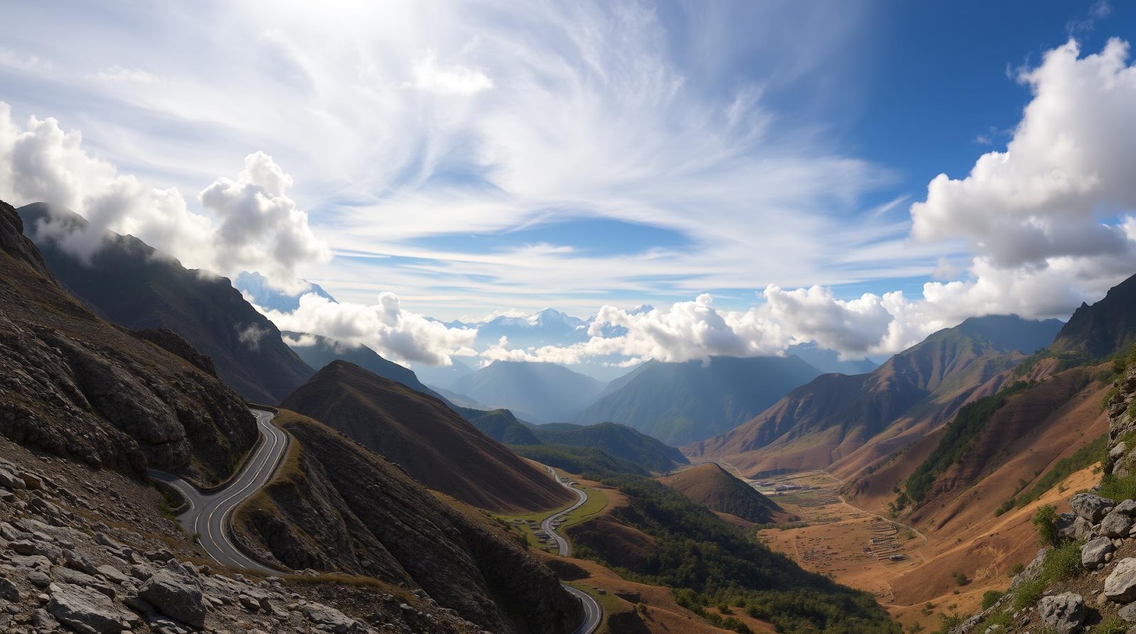
Now, here's something exams love to ask about — Himalayan passes. A pass is essentially a low point between two mountain peaks where it's easier to cross. For centuries, these passes were literally the gateways through which trade, armies, ideas, and people moved.
Let me give you a memory trick I tell all my students: "K-L-R-N-B" for the five most important passes: Kardung La, Lachung La, Rohtang, Niti, Burton Pass.
Kardung La (5,359m): Located in Ladakh, this was the world's highest motorable pass until recently (the title keeps changing as new roads are built). The road from Leh to the Nubra Valley passes through here. Historically, it connected the Indus Valley to the Shyok Valley trade routes.
Khyber Pass (1,027m): Technically in Pakistan now, but if you're studying Indian history and geography comprehensively, you need to know this. It's the gateway between Afghanistan and the Indian subcontinent. Nearly every invader — from Alexander to the Mughals — came through here. Even today, it remains strategically crucial.
Rohtang Pass (3,978m): In Himachal Pradesh, this pass connects the Kullu Valley to the Lahul and Spiti region. Every tourist who drives to Manali knows this name. The road infrastructure here is constantly being upgraded.
Niti Pass (5,070m): On the India-China border, connecting Uttarakhand to Tibet. This is one of the oldest trans-Himalayan trade routes.
Banihal Pass and Pir Panjal Pass: These passes are significant because they connect Kashmir to the rest of India. The Banihal Pass is where the important Srinagar-Jammu highway passes through. Geopolitically, understanding these passes is crucial for understanding Kashmir's importance.
The Western Mountain Ranges: Fewer Giants, Bigger Stories
Moving away from the Himalayas, the western side of India has its own mountain personality. These aren't as high as the Himalayas, but they're equally fascinating for geography exams.
The Western Ghats: The Monsoon Makers
The Western Ghats run along the western coast of India, from Gujarat down to Kerala — roughly 1,600 kilometres. Now, here's what makes them truly special: they're not particularly tall (highest point is Anamudi at 2,695m in Kerala), but they profoundly influence India's climate and ecology.
Why? Because they act as a barrier to the monsoon winds coming from the Arabian Sea. The western slopes of the Ghats receive enormous rainfall — places like Mahabaleshwar get over 6,000mm of annual rainfall. Meanwhile, the eastern slopes (the rain shadow area) are much drier. This single geographic feature explains why Kerala is green and wet while parts of Karnataka are relatively drier.
Exam tip: When they ask about "Western Ghats" passes, the main ones are Palghat Pass (connecting Kerala to Tamil Nadu) and the Bhorghat or Bhor Ghat (on the Mumbai-Pune highway). The Bhor Ghat is particularly famous because it was one of the first mountain roads built by the British with modern engineering techniques.
The Aravalli Range: The Ancient Sentinel
Here's something many students don't realise — the Aravallis are among the oldest mountain ranges in the world. At 960 million years old, they're ancient compared to the young Himalayas. But because they're so old, they've been heavily eroded, which is why they're not very high (highest peak is Guru Shikhar at 1,722m in Mount Abu).
The Aravallis stretch from Gujarat through Rajasthan to Delhi and Haryana. They run roughly southwest to northeast. Historically, they've defined the cultural and political boundaries of northwest India. Delhi and Jaipur both sit in relation to the Aravallis. The range passes through what we call the "Aravalli Hills" region of Rajasthan, where you'll find places like Mount Abu — the only hill station in Rajasthan.
Now, here's why exams love asking about this: the Aravallis are a crucial water divide. Rivers flowing east from here (like the Banas) feed into the Ganges system, while rivers flowing west drain towards the Arabian Sea. Understanding this helps you understand water distribution and basin systems across northwestern India.
The Eastern Mountain Ranges: India's Eastern Spine
The eastern side of India has its own mountain system, and while it doesn't have the drama of the Himalayas, it's equally important geographically and ecologically.
The Eastern Himalayas and Related Ranges
The Eastern Himalayas extend from the Brahmaputra valley in the east towards Nepal and Bhutan in the northwest. The Darjeeling Himalayas and the Sikkim Himalayas are part of this system. This region is ecologically one of the most biodiverse areas in India — the Kanyakumari-Darjeeling biodiversity corridor is actually a recognized ecological zone spanning the entire eastern coast.
The Shillong Plateau: Located in Meghalaya, this plateau stands distinct from the Eastern Himalayas. It's remarkable for being one of the wettest places on Earth — Cherrapunji, located here, receives an average of 11,430mm of rainfall annually (though it's been surpassed by Mawsynram, also in Meghalaya, which gets around 11,870mm). This isn't just a random fact — it explains the entire ecology, economy, and culture of the Northeast region.
The Purvanchal Range: This includes the Patkai Range, Naga Hills, Mizo Hills, and Manipur Hills. These are lower ranges (highest peak around 3,826m) but extremely important geopolitically as they form India's eastern border with Myanmar. The passes here, like Pangsau Pass, connect India to Southeast Asia.
The Deccan Plateau and Southern Mountains
The Deccan isn't typically classified as a mountain range — it's a plateau. But it's flanked by mountain ranges that are crucial for geography students: the Western Ghats (which we discussed) and the Eastern Ghats.
The Eastern Ghats: These run along the eastern coast and are much lower and less continuous than the Western Ghats. They're broken by river valleys and don't form a continuous barrier like their western counterparts. The highest peak is Mahendra Garh at about 1,600m. They're important because they're the water divide for rivers flowing into the Bay of Bengal — the Godavari, Krishna, and Cauvery all originate or flow through this region.
The Nilgiri Hills (part of the Western Ghats but sometimes treated separately) are where the Ghats and Eastern Ghats meet. This is where Tamil Nadu's highest peak, Doddabetta (2,637m), is located. Ooty, one of India's most famous hill stations, sits here.
A practical exam trick: whenever you see a question about south Indian rivers (Godavari, Krishna, Cauvery, Tungabhadra), remember they all originate from either the Western Ghats or the Deccan plateau. This connection between physical features and river systems comes up constantly in geography exams.
| Mountain Range | Location | Highest Peak | Key Significance |
|---|---|---|---|
| Greater Himalayas (Himadri) | North (Indus to Brahmaputra) | Everest (8,849m) | Highest, snow-covered, few passes |
| Lesser Himalayas (Himachal) | Central Himalayan region | Mussoorie (2,005m approx) | Hill stations, human settlement |
| Outer Himalayas (Shivaliks) | South of Lesser Himalayas | Nag Tibba (3,636m) | Youngest, transition to plains |
| Western Ghats | Western coast (Gujarat to Kerala) | Anamudi (2,695m) | Monsoon barrier, biodiversity hotspot |
| Eastern Ghats | Eastern coast (Odisha to Tamil Nadu) | Mahendra Garh (1,600m) | Lower, discontinuous, river divide |
| Aravallis | Gujarat to Haryana | Guru Shikhar (1,722m) | Oldest mountains, water divide |
Why Mountains and Passes Matter: Beyond the Exam Hall
Before we finish, I want to leave you with something bigger than exam preparation. Understanding Indian geography isn't just about scoring marks — it's about understanding why India is the way it is.
The mountains and passes we've discussed aren't just obstacles to overcome or geographical trivia. They're the reasons why North India developed different kingdoms than South India. They're why monsoons hit the coast but don't reach the interior. They're why certain regions are development corridors while others are geographically isolated. They're why Kashmir has always been strategically crucial — it's literally the gateway through which the subcontinent connects to Central Asia.
When you're preparing for your exam and learning about the Banihal Pass or the Palghat Pass, remember: these aren't meaningless names. They're historical highways. They're stories. They're the geographic logic that explains history, culture, and politics.
Let me give you one final mnemonic for the major passes you need to know: "K-R-N-P-B" — Kardung La, Rohtang, Niti, Palghat, Banihal. Master these five, and you've covered about 80% of what exams typically ask about passes.
Quick Revision Checklist
Before you move on, ask yourself these questions:
✓ Can I name the three divisions of the Himalayas and explain their differences?
✓ Do I know why the Western Ghats are important for monsoons?
✓ Can I explain what a pass is and why they were historically important?
✓ Do I understand the difference between the Eastern and Western Ghats?
✓ Can I name at least 5 major passes and their locations?
✓ Do I know why the Aravallis are geologically unique?
If you answered yes to all of these, you're ready for any exam question on this topic. If not, go back and revisit those specific sections.
Practice Questions to Test Your Knowledge
A) Shivaliks B) Himachal C) Himadri D) Purvanchal
Answer: C) Himadri (Greater Himalayas) — This is the highest and northernmost range, containing all major peaks like Everest.
A) Western Ghats B) Shillong Plateau C) Eastern Ghats D) Aravallis
Answer: B) Shillong Plateau — Located in Meghalaya, it receives over 11,000mm annual rainfall due to its position relative to monsoon winds.
A) Kardung La B) Rohtang Pass C) Niti Pass D) Banihal Pass
Answer: B) Rohtang Pass — Located at 3,978m, it's one of the most important passes for vehicular traffic in the Himalayas and connects to the popular Manali tourist circuit.
A) The youngest mountain range in India B) Among the oldest mountain ranges in the world C) The highest mountain range outside the Himalayas D) The longest continuous mountain range
Answer: B) Among the oldest mountain ranges in the world — At approximately 960 million years old, the Aravallis are ancient and heavily eroded, which explains their moderate height.
A) Eastern Ghats B) Western Ghats C) Aravallis D) Shivaliks
Answer: B) Western Ghats — This range blocks the moisture-laden winds from the Arabian Sea, causing heavy rainfall on the western slopes (like Mahabaleshwar with 6,000mm annually) while areas east of it receive significantly less rainfall.
Published by Dattatray Dagale • 20 June 2026
.jpg)
.png)


.png)


.png)
0 Comments