Introduction
Listen, I've been teaching geography for over a decade now, and I can tell you with absolute certainty: mountain ranges and passes are where students either shine or stumble. Why? Because most of you try to memorize everything without understanding the *why* behind these formations. You see "Himalayas" on the map and think, "Okay, big mountain, got it." But that's exactly where you lose marks in the exam.
Here's what I want you to understand: India's mountain ranges aren't just geographical features. They're barriers that shaped our history, define our climate, influence our trade routes, and literally split our country into distinct regions. When you grasp this bigger picture, remembering specific passes and ranges becomes almost natural.
Today, we're going to walk through India's mountains like you're actually trekking through them—not just collecting facts for a checklist. By the end, you'll have the kind of understanding that sticks with you, not just until your exam, but for life.
The Himalayan System: More Than Just a Mountain Range
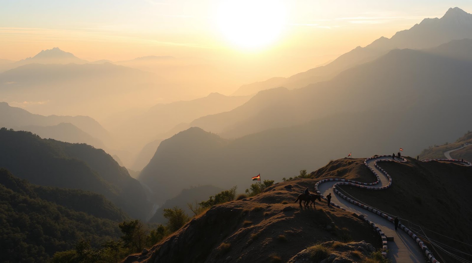
The Himalayas aren't one mountain. This is crucial. They're an entire *system*—a massive arc of mountains stretching about 2,400 kilometers from the Indus River in the west to the Brahmaputra River in the east. Think of it as India's northern fortress wall.
Now, within this system, there are three distinct parallel ranges running east to west. Let me break this down because this is where most students get confused and lose easy marks.
The Three Himalayan Ranges
The Great Himalayas (Himadri): This is the northernmost, highest range. It includes all the biggies—Mount Everest (which we call Sagarmatha), K2, Kangchenjunga, and Nanga Parbat. These are the serious peaks, with heights above 6,000 meters. When you think "Himalayas," you're really thinking of this range. The Great Himalayas act as the primary water divide. All the major rivers—the Indus, Sutlej, Ganges, and Brahmaputra—originate here. I always tell my students: "The Great Himalaya is where India's water story begins."
The Lesser Himalayas (Himachal): Just south of the Great Himalayas, you've got this middle range with heights between 2,000 to 4,500 meters. Now here's an interesting part—this range is more densely populated than the Great Himalayas. Why? Because it's more accessible and has better agricultural potential. The famous hill stations like Shimla, Mussoorie, and Darjeeling sit in this range. Geographically, this is where you find the Doon valleys and the Kangra Valley. These valleys are absolutely critical for agriculture.
The Outer or Sub-Himalayas (Shivaliks): The southernmost range, stretching from Punjab to Assam. The Shivaliks are relatively young mountains—geologically speaking—which makes them very prone to erosion. Heights here range from 600 to 1,500 meters. What's important about the Shivaliks? They're the first barrier between the plains and the higher mountains, so they significantly influence rainfall patterns. Also, many important passes are located in the Shivalik range.
Important Himalayan Passes and Their Significance
Okay, here's where it gets practical. Passes are the low-lying areas in mountain ranges where you can actually cross from one side to another. They've shaped trade, warfare, and cultural exchange in India for thousands of years. Let me give you a mnemonic I use with all my students:
"KPNR = Kashmir to Punjab to North-East to Rest"
This helps you remember the four major pass zones. Let me explain each:
Khardung La (in Ladakh, Jammu & Kashmir): This is one of the highest motorable passes in the world at about 5,359 meters. It connects Leh to the Nubra Valley. Why should you care? Because it's historically been crucial for trade between Central Asia and Tibet. Plus, it's a frequent question in exams because it's a "superlative"—highest this, highest that.
Rohtang Pass (Himachal Pradesh): At 3,978 meters, this pass connects the Kullu Valley with Lahaul and Spiti. It's extremely important for tourism and trade. The name literally means "pile of bones" in the local language—supposedly because so many people died crossing it in harsh winters before modern roads were built. Dramatic, right? Makes it memorable.
Niti Pass and Mana Pass (Uttarakhand): These are twin passes in the Kumaon Himalayas. Niti Pass connects to Tibet, while Mana Pass is actually the easternmost pass on the Indian border with Tibet. Students often mix these up, so remember: Niti is in the Nar Parbat area, and Mana is at the source of the Alaknanda River.
Nathu La (Sikkim): At 4,330 meters, this is the gateway between India and Tibet. It was closed for trade for decades and reopened in 2006. It's been a pivotal point for regional geopolitics, which is why it keeps appearing in both geography and current affairs questions.
Jelep La (also in Sikkim): Another important pass connecting to Tibet. Jelep La and Nathu La together form the main trade corridor between India and Tibet through Sikkim.
The Other Mountain Ranges: Don't Sleep on These
Students often become so obsessed with the Himalayas that they completely neglect the other mountain ranges. Big mistake. The exam will definitely test you on these.
The Western Ghats and Eastern Ghats
Picture this: a massive wall of mountains running parallel to India's coasts. That's what we're talking about here.
The Western Ghats run along the western coast from Gujarat all the way down to Kerala—about 1,600 kilometers. They're ancient mountains, which means they're heavily eroded and rounded. Heights typically range from 1,000 to 2,500 meters, with Anamudi (2,695 meters) being the highest peak. The Western Ghats are incredibly important because they act as the western water divide for the Indian peninsula. Rivers like the Godavari, Krishna, and Kaveri originate here.
What's really fascinating is how the Western Ghats affect rainfall. The southwest monsoon hits these mountains first, so the western slopes get absolutely drenched—we're talking 2,000 to 3,000 millimeters of rainfall annually. But once the wind crosses over, the eastern slopes (facing the Deccan) become dry. This creates a rain shadow. That's why Kerala gets those heavy rains while nearby areas can be relatively dry.
The Eastern Ghats run along the eastern coast from Odisha down to Tamil Nadu—much shorter at about 900 kilometers. They're highly fragmented and discontinuous, with lower heights (usually 500-1,000 meters). They're much less significant than the Western Ghats in terms of geography and climatology.
The Vindhyas, Satpuras, and the Deccan Plateau
Now we're moving into central India. The Vindhyas and Satpuras are two important ranges that run east-west across central India. Historically, the Vindhyas acted as the boundary between North and South India—both politically and culturally. That's why it's such an important concept in Indian history too.
The Satpuras lie to the south of the Vindhyas, with the Narmada River flowing between them (this is a classic geography feature you'll see in diagrams). The Satpuras are home to the Amarkantak Plateau, which is a major water divide where both the Narmada and Mahanadi rivers originate.
The Deccan Plateau isn't really a mountain range, but it's the elevated tableland between the Western and Eastern Ghats. Average height is around 600 meters, but it plays a huge role in South Indian geography and climate.
Mountain Passes Outside the Himalayas: The Forgotten Questions
Everyone asks about Khardung La and Rohtang Pass, but the exam loves testing you on the lesser-known passes. Here are some that regularly appear in SSC CGL and UPSC exams:
Palghat Gap (Kerala): The only break in the Western Ghats. It's a natural passage between Tamil Nadu and Kerala. The Palghat Railway was built through this gap, making it crucial for transportation.
Bhorghat (Maharashtra): Also called the Bhor Ghat, this is a pass in the Western Ghats connecting the Deccan Plateau to the coastal plains. Historically, this was a key trade route.
Thalghat (Maharashtra): Another Ghats pass, also on the historic trade route from the coast to the interior.
Ramtek Pass (Madhya Pradesh): Connects the Malwa Plateau to the Narmada Valley.
Here's a trick I share with students: *Most passes appear near rivers.* Why? Because rivers naturally carve out the easier paths through mountains. When you study a pass, always note which river flows nearby. This helps you remember not just the pass, but its geographical context.
| Mountain Range | Location | Important Passes | Highest Peak |
|---|---|---|---|
| Great Himalayas | North India (Northernmost) | Khardung La, Nathu La | Mount Everest (8,849m) |
| Lesser Himalayas | North India (Middle) | Rohtang Pass | Nanda Devi (7,816m) |
| Shivaliks | North India (Southern) | Various river gaps | ~1,500m average |
| Western Ghats | Western Coast | Palghat Gap, Bhorghat | Anamudi (2,695m) |
| Vindhyas | Central India | River gaps | ~600m average |
Why Mountains and Passes Matter: Beyond Just Geography
I want you to understand something important: mountains aren't just physical features. They're the backbone of Indian civilization. They determine where people live, where cities grow, how goods flow, and even how cultures develop.
The Himalayas created that natural boundary that made India a distinct geographical and cultural unit. The Western Ghats preserved unique biodiversity and created isolated populations that led to endemic species. The passes throughout our mountain ranges were literally the highways of history—armies marched through them, traders established routes through them, and religions spread via these corridors.
When you see a question about why a certain region has a particular culture or why a city developed in a specific location, often the answer is hidden in the geography of nearby mountains and passes. That's why understanding these features is critical—they're not just facts to memorize; they're the foundation of everything else.
Final Tips for Your Exam Preparation
Here's my genuine advice after teaching thousands of students: don't just memorize pass names and heights. Instead, use a blank map of India and mark each range and pass as you study. Understanding the *location* is half the battle. When you can visualize where something is—which range it belongs to, which river flows nearby, which state it's in—remembering it becomes much easier.
Also, pay attention to any superlatives. "Highest pass," "westernmost," "longest range"—these always appear in exams. Create a small table of records and keep it handy.
Finally, remember that geography questions often have a "gotcha" element. An exam might ask you about the pass and expect you to know not just its name, but which border it crosses, which state it's in, or its historical significance. That's why context matters.
You've got this. Geography seems intimidating until it suddenly clicks, and when it does, you'll realize how logical and interconnected everything is. Now go grab some chai, print a map of India, and start marking those mountains!
Practice Questions
A) Khardung La B) Rohtang Pass C) Mana Pass D) Nathu La
Answer: C) Mana Pass — It is located at the source of the Alaknanda River in Uttarakhand and is the easternmost pass on the India-Tibet border.
A) Eastern Ghats B) Western Ghats C) Vindhyas D) Aravalli
Answer: B) Western Ghats — Palghat Gap is the only break in the Western Ghats, located in Kerala between Tamil Nadu and Kerala.
A) Khardung La B) Rohtang Pass C) Jelep La D) Niti Pass
Answer: B) Rohtang Pass — At 3,978 meters, it is one of the most important passes in Himachal Pradesh.
A) Vindhyas and Aravallis B) Satpuras and Deccan C) Vindhyas and Satpuras D) Western Ghats and Eastern Ghats
Answer: C) Vindhyas and Satpuras — The Narmada forms a natural divide between these two ranges in central India.
A) Kangchenjunga B) Anamudi C) Doda Betta D) Nilgiri
Answer: B) Anamudi — Located in Kerala, Anamudi (2,695 meters) is the highest peak in the Western Ghats, not the entire Western range.
Published by Dattatray Dagale • 15 July 2026
.jpg)
.png)



.png)



.png)


0 Comments