Introduction
You know, when I first started teaching geography to SSC and UPSC aspirants over a decade ago, I noticed something interesting. Students could memorize the longest river or the deepest lake, but they couldn't tell you *why* these water bodies matter to India's economy, culture, and survival. That changed everything about how I teach this topic.
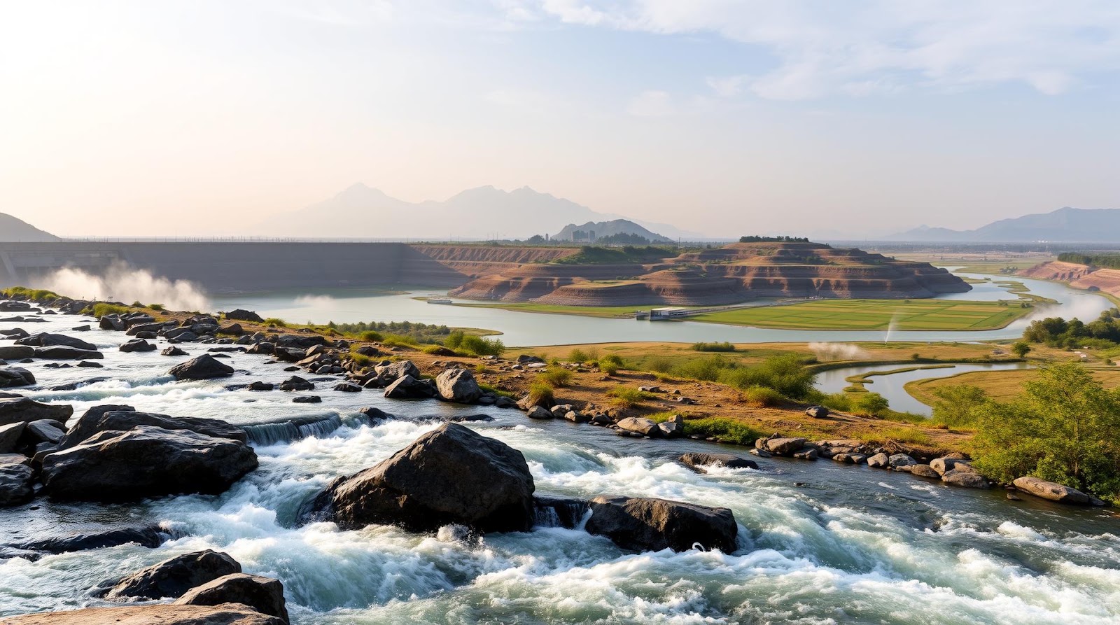
Indian geography is essentially the story of water. From the snow-capped Himalayas to the Western Ghats, from the vast Indo-Gangetic Plains to the Deccan Plateau, every region tells a story written by rivers and shaped by drainage patterns. And here's what fascinates me: if you truly understand how our rivers flow and where our lakes sit, you'll understand India itself — its agriculture, its cities, its civilization.
This is a topic that appears in almost every SSC CGL and UPSC exam, but not as disconnected facts. Examiners ask about river systems as integrated wholes. They connect drainage patterns to agriculture, water distribution, and environmental challenges. So let's dive deeper into this, the way I explain it to my students over countless doubt-clearing sessions.
Understanding India's Drainage Systems: The Basic Framework
Alright, first things first. India's entire drainage system — meaning the way water flows across our land — can be divided into a few major patterns. Think of it like this: if India is a body, rivers are its circulatory system, and drainage basins are different organ systems all working together.
What Exactly is a Drainage System?
A drainage system is simply the natural pattern of water flow in a region. It includes the main river, all its tributaries, and the area from which water is collected. When I ask my students "Where does water from your village eventually go?", they realize that every drop of water follows a predetermined path — and that's drainage.
India has three major drainage systems:
1. The Himalayan or Indo-Gangetic Drainage System: This is the largest and most important. Rivers here are perennial (flowing year-round) because they're fed by snow melt and monsoons. The Ganges, Brahmaputra, and Indus all belong here. These rivers are young, energetic, and constantly eroding and depositing sediment — which is why the Indo-Gangetic Plains are so incredibly fertile.
2. The Deccan or Peninsular Drainage System: These are mostly older rivers. The Narmada, Tapti, Godavari, Krishna, and Kaveri fall into this category. Here's the interesting bit — these rivers flow from west to east (mostly), and they're rain-fed, so water availability depends heavily on monsoons. During dry seasons, some sections dry up completely.
3. The Coastal Drainage System: Smaller rivers that flow directly into the sea. They're important for local agriculture but don't get much exam attention.
Now, here's a memory trick I give my students: Remember "HIP-DC" — Himalayan (perennial, large), Peninsular (rain-fed, older), and Coastal (small). It sounds silly, but trust me, it sticks!
The Direction Question: Why Do Rivers Flow Where They Do?
You might be wondering — why do some rivers flow north to south, and others south to north? The answer is simple: gravity and slope. Water always flows downhill from higher to lower elevations. The Himalayas are the highest region, so Himalayan rivers flow downward — eventually reaching the plains. Peninsular rivers flow based on the slope of the Deccan Plateau.
This isn't just geography trivia. It explains why some rivers are longer (Ganges at 2,525 km) and some are shorter (Narmada at 1,312 km). It also explains flood patterns and water availability for irrigation.
Major River Systems: Beyond Just Names and Lengths
The Ganges: The Soul of India
Look, I could give you statistics about the Ganges being 2,525 km long and flowing through 11 states, but that's what Wikipedia does. What I want you to understand is *why* the Ganges matters.
The Ganges is India's most important river because it supports over 400 million people. It originates from the Gangotri Glacier in Uttarakhand and flows through the Indo-Gangetic Plains — the most densely populated and agriculturally productive region in the world. Major cities like Varanasi, Allahabad, and Kolkata exist because of the Ganges. Its water irrigates millions of hectares of cropland. Its basin accounts for nearly 30% of India's water resources.
Important tributaries: Yamuna (the longest tributary), Ghaghara, Gandak, and Kosi. The Yamuna is particularly important because Delhi depends on it. Remember that for the exam.
The Brahmaputra: The Mighty Northeast Giant
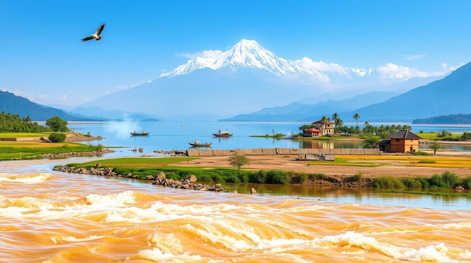
The Brahmaputra flows through the northeast — Assam, mainly. It's unique because it's one of the few Indian rivers that flows east to west (most others flow north to south or northwest). It's also incredibly important for northeast India, similar to how the Ganges is for the north and central India.
Here's something that often trips up students: The Brahmaputra is sometimes called the "Tsangpo" in Tibet. Same river, different name. The river is known for devastating floods in monsoon season, partly because of the heavy rainfall in the region and partly because of its narrowing channel.
Peninsular Rivers: The Older Siblings
The Godavari is the second longest river in India (1,465 km) and drains the Deccan Plateau. The Krishna, Kaveri, and Narmada are equally important for southern India's agriculture and economy.
Here's what makes peninsular rivers different — and this is crucial for understanding Indian geography: they're monsoon-dependent. When the southwest monsoon fails, these rivers dry up. This is why southern India has historically invested heavily in tank irrigation (artificial lakes and reservoirs) — they needed to store water during the rainy season for use during dry months. The Mettur Dam on the Kaveri, the Srisailam Dam on the Krishna — these aren't just engineering projects, they're civilization management tools.
Lakes, Wetlands, and Water Storage: India's Hidden Reservoirs
Okay, here's where I see students often get confused. They think "lake" means any large body of water. But geographers are more precise.
Natural lakes are formed by geological processes — glacial activity, tectonic movements, or river action. Artificial lakes or reservoirs are created by damming rivers for irrigation and power generation.
Natural Lakes Worth Knowing
Wular Lake in Kashmir is India's largest natural lake. Dal Lake is famous (hello, Bollywood!) and is a shallow lake that's currently fighting pollution issues. Loktak Lake in Manipur is unique for its floating islands. Sambhar Lake in Rajasthan is a salt lake — yes, we have those too.
The thing about natural lakes is they're concentrated in mountainous regions (glacial lakes) and some in coastal areas (lagoons). Most of India's water storage, though, depends on man-made reservoirs created by dams.
The Dam Revolution and Artificial Reservoirs
Post-independence, India embarked on what Nehru called "temples of modern India" — massive dam projects. The Bhakra Nangal Dam on the Sutlej, the Hirakud Dam on the Mahanadi, the Damodar Valley Corporation projects — these were civilization-changing.
Why? Because natural water availability is uneven across India. You have abundant water in the northeast (Assam gets nearly 3,000 mm of rainfall annually) but scarcity in western parts (Jaisalmer gets less than 200 mm). Dams allow us to store water when we have plenty and distribute it when we need it.
For exam purposes, remember: Major dams support irrigation, hydroelectric power generation, and flood control. The biggest challenge now is water management and environmental impact — something that comes up frequently in current affairs questions.
| River/Water Body | Region | Key Feature | Length/Area |
|---|---|---|---|
| Ganges | North & Central | Most important, perennial | 2,525 km |
| Brahmaputra | Northeast | Flows east to west, floods in monsoon | 2,900 km |
| Indus | Northwest (mostly Pakistan) | Ancient civilization river | 3,180 km |
| Godavari | Deccan (South) | Second longest Indian river | 1,465 km |
| Krishna | Deccan (South) | Rain-fed, irrigation dependent | 1,290 km |
| Wular Lake | Kashmir | Largest natural lake in India | 235 sq. km |
Connecting It All: Drainage Patterns, Climate, and Human Settlement
Now here's what separates students who just memorize facts from those who truly *understand* geography. All these rivers and lakes aren't random. They connect to everything else.
The distribution of India's water follows monsoon patterns. Southwest monsoon brings heavy rainfall to the Western Ghats and northeast regions. This is why the Brahmaputra and Godavari basins have surplus water while the Thar Desert region is parched. Civilizations have always settled near water sources — the Ganges valley is the most densely populated region on Earth because water is abundant and soil is fertile. Conversely, deserts exist where rivers don't flow.
Understanding drainage patterns also explains India's agricultural zones. Rice is grown in high-rainfall areas with good water management (Bengal, Assam). Wheat grows in the Indo-Gangetic Plains where irrigation is available. Sugarcane depends on reliable water sources.
And here's something contemporary: India's water crisis. Many peninsular rivers are now seasonal. Groundwater is depleting because we're extracting more than nature replenishes. The Yamuna is polluted. Several dams have created environmental problems. This is real geography affecting real lives, and it's also increasingly common in UPSC questions about environmental issues.
Let me give you one final memory trick for the major river basins. I call it the "GBC-GKN rule" — Ganges (largest basin), Brahmaputra, Coastal, then Godavari, Krishna, and Narmada. These six account for almost all the water-related questions you'll face.
When you're revising, don't just memorize river names. Ask yourself: Where does this river originate? Which states does it flow through? What are its major tributaries? How is it used by humans? What are the environmental challenges it faces? Answer these questions, and you've truly learned the topic.
Published by Dattatray Dagale • 14 July 2026
.jpg)
.png)





.png)

0 Comments