Introduction
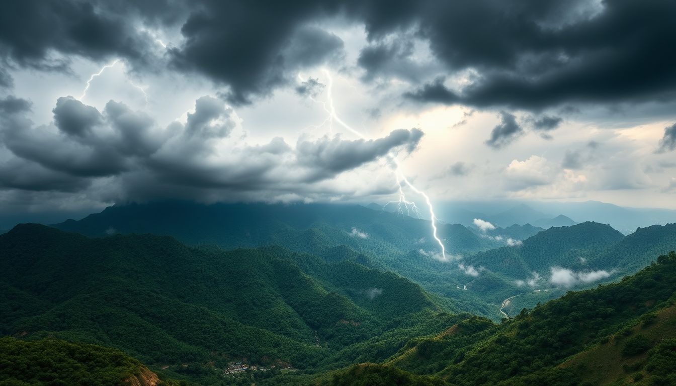
Let me start with something I ask every batch of students during the first class: "What do you think determines whether India will have a bumper harvest or face a drought this year?" Most hands go up with answers about government policies, fertilizers, irrigation—all valid. But then I smile and say, "Actually, it all depends on a wind that arrives in June."
That wind is the monsoon, and honestly, it's one of the most fascinating topics in Indian geography. Why? Because the monsoon isn't just an exam topic—it's literally the foundation of Indian agriculture, economics, and even our cultural calendar. I've been teaching this for over a decade, and I still get excited explaining how the entire nation's fate hinges on these seasonal winds.
In this post, I'm going to walk you through India's climate and monsoon system the way I explain it in my classroom—with real examples, practical memory tricks, and the kind of clarity that'll make you answer these questions correctly in your exam. By the end, you'll understand not just the "what" but the "why" behind India's climate patterns.
Understanding India's Climate Classification
Before we dive into the monsoon (which is the star of the show), we need to understand the bigger picture—what kind of climate does India actually have?
India has a tropical monsoon climate in most regions, with some parts experiencing tropical savanna and subtropical climates. Now, you might be thinking, "Tropical? But North India gets freezing cold in winter!" And you're absolutely right. This is where most students get confused.
Here's the thing: India is so geographically diverse that calling it "one climate" is like calling all Bollywood actors "heroes." The Thar Desert gets minimal rainfall, while Mawsynram in Meghalaya gets nearly 12 metres of rain annually—the highest in the world! What unites all these diverse regions is the monsoon wind system. That's what we call the defining feature of India's climate.
The Latitude Factor
India spans roughly from 8°N to 35°N latitude. This position is crucial. The Tropic of Cancer (23.5°N) runs right through the middle of our country, which means a large portion of India receives direct overhead sun at some point in the year. This creates intense heating, especially in summer, which becomes the trigger for the monsoon system.
The Seasonal Temperature Pattern
I always tell students to remember this: India experiences four main seasons, but really, they boil down to two that matter—the hot season (March to May) and the rainy season (June to September). The winter (October to February) is mild in most parts and the post-monsoon period is transitional.
During summer, temperatures in places like Delhi, Jaipur, and parts of Madhya Pradesh can cross 45°C. This extreme heat creates a pressure difference that literally sucks in the monsoon winds. It's like nature's air conditioning system—violent, but essential.
The Monsoon System: India's Most Important Weather Pattern
Now, this is where things get really interesting. The monsoon is not some random rainstorm. It's a predictable, seasonal wind pattern that reverses direction—and it's controlled by differential heating of land and ocean.
The Southwest Monsoon (June to September)
This is the main monsoon—the one that brings 80% of India's annual rainfall. Here's how it works:
During summer, the Indian landmass heats up much faster than the surrounding Indian Ocean. This creates a massive low-pressure zone over the Deccan Plateau and the Indo-Gangetic Plain. Meanwhile, the ocean remains relatively cool, creating a high-pressure zone. Wind always flows from high pressure to low pressure, right? So winds blow from the ocean toward the land.
But here's the elegant part—these winds don't come straight. They get deflected by the Coriolis effect (due to Earth's rotation). Winds coming from the southern hemisphere get deflected to the right, so they approach India from the southwest. That's why we call it the Southwest Monsoon.
These winds carry moisture from the Arabian Sea and the Bay of Bengal. When they hit the Western Ghats and the Himalayas, the air is forced to rise, cools down, and releases all that moisture as rain. Places like the Konkan coast and the North-East get absolutely drenched during this period.
Let me give you a memory trick I use in class: "SWAM"—Southwest, Wind, Arabian/Bay, Monsoon. Sounds silly, but trust me, you'll remember it in the exam!
The Northeast Monsoon (October to December)
Once the summer heat subsides and autumn begins, the pressure pattern reverses. Now the land cools down faster than the ocean. The ocean becomes relatively warm and creates a low-pressure zone, while land becomes high-pressure.
Winds now flow from the northeast—from the cold high-pressure zone over land to the warm low-pressure zone over the ocean. These winds bring winter rains to the southern peninsula and the east coast. Places like Tamil Nadu, parts of Karnataka, and Andhra Pradesh get their significant rainfall during this period. This is why the Northeast Monsoon is also called the Winter Monsoon or Retreating Monsoon.
Regional Variations and Rainfall Patterns
Now, you can't just say "India gets monsoon rain"—because which part of India gets how much rain is crucial for exams.
High Rainfall Areas (above 200 cm annually): The Western Ghats, the Himalayas, and the North-East (especially Assam, Meghalaya, and Arunachal Pradesh). These regions face the monsoon winds head-on, so they get maximum precipitation.
Moderate Rainfall Areas (100-200 cm): Most of the Indo-Gangetic Plain, the Deccan Plateau, and coastal regions. These areas get good monsoon influence but not the extreme levels of the high-rainfall zones.
Low Rainfall Areas (below 60 cm): Rajasthan, parts of Gujarat, Haryana, and Ladakh. These areas are either in the rain shadow of mountain ranges or are too far from oceanic moisture sources. Rajasthan is a classic case—it's geographically positioned such that by the time monsoon winds reach it, they've already lost most of their moisture.
| Region | Annual Rainfall | Key Characteristics |
|---|---|---|
| Western Ghats & Northeast | Above 200 cm | Windward side, direct SW monsoon impact |
| Indo-Gangetic Plain | 100-200 cm | Monsoon wind passes through, moderate rainfall |
| Deccan Plateau (interior) | 50-100 cm | Rain shadow effect of Western Ghats |
| Rajasthan & Thar Desert | Below 60 cm | Very far from moisture sources, arid climate |
| Tamil Nadu (East Coast) | 50-100 cm (mostly NE monsoon) | Winter monsoon dominates, summer dry |
Here's a practical observation I've made teaching thousands of students: if you can remember that the windward side of any mountain gets more rain, you can solve 70% of regional rainfall questions. The Western Ghats' western slope gets drenched (200+ cm), while the eastern slope gets very little (50-75 cm). Same mountain, completely opposite rainfall patterns!
Factors Controlling India's Monsoon and Climate
Understanding the monsoon isn't just about knowing it happens—you need to know why it happens and what influences it. This is where many students drop marks because they memorize without understanding.
The Pressure and Wind System
The fundamental driver is differential heating. The land heats faster than water (water has higher specific heat capacity—a physics concept that applies here). This creates pressure differences, which create winds. The Coriolis effect then deflects these winds, and mountain ranges direct them further. It's all physics, really.
Ocean Currents
The warm waters of the Indian Ocean also play a role. The Southwest Monsoon winds push water northwestward, and the warm currents from the equator bring more moisture to the Arabian Sea and Bay of Bengal. This is why these water bodies are the moisture source for our monsoon.
The ITCZ (Intertropical Convergence Zone)
This is something I see in advanced exam questions, so pay attention. The ITCZ is a band of low pressure that circles the Earth near the equator. During summer (June-July), the ITCZ shifts northward and settles over the Indo-Gangetic Plain. This northward shift is one reason the monsoon intensifies over India during these months.
Mountain Ranges and Orographic Effect
When moisture-laden winds hit a mountain, they're forced to rise. As air rises, it expands and cools (adiabatic cooling). Cool air can't hold moisture, so it falls as rain. This is the orographic effect, and it's why the Himalayas and Western Ghats are so wet.
Let me give you another memory trick for this: "MROP"—Mountain, Rise, Orographic, Precipitation. Simple, but it works.
Seasonal Climate Patterns: A Year in India's Weather
Let me walk you through what happens in India throughout the year, because this gives you the complete picture.
Winter (December-February): The Northeast Monsoon dominates. North India is cool and dry. South India, especially Tamil Nadu and parts of Andhra Pradesh, gets some rain from the NE monsoon. The Himalayas get winter snow. Overall, this is the dry season for most of India.
Spring/Summer (March-May): Extreme heat builds up. Temperatures soar, especially in the Indo-Gangetic Plain and Rajasthan. Dust storms (called "Loo" in North India) occur. This is pre-monsoon season, and atmospheric pressure drops rapidly. By May, everyone is waiting for the monsoon!
Southwest Monsoon (June-September): The main monsoon. Rainfall is heavy, especially on windward slopes. Rivers swell. The entire agricultural season depends on this. The advance of the monsoon is tracked by the India Meteorological Department daily during this period.
Post-Monsoon/Autumn (October-November): Monsoon retreats, but some regions still get rain from the transitional period. Humidity is high, but rainfall decreases. This is when the Northeast Monsoon is beginning to set in.
Now here's something interesting: because of this clear seasonal pattern, Indian agriculture, festivals, and even clothing are synchronized with the monsoon! Farmers plan their crop calendars around monsoon arrival. It's not just geography—it's the heartbeat of Indian civilization.
Common Exam Mistakes and How to Avoid Them
In my years of teaching, I've seen certain patterns of mistakes that students repeat. Let me share them so you don't:
Mistake 1: Confusing Southwest Monsoon with Northeast Monsoon. Remember: SW monsoon = summer = June-September = heavy rain. NE monsoon = winter = October-December = moderate rain, mainly South India.
Mistake 2: Thinking all of India gets the same rainfall. No! Spatial variation is huge. Always specify region when answering.
Mistake 3: Not understanding orographic effect. Practice identifying windward (wet) vs. leeward (dry) sides. If you see a mountain and rain direction in a question, immediately think about which side faces the rain.
Mistake 4: Forgetting that monsoon reliability varies year to year. Some years it's weak, some years it's strong. This variation directly impacts agricultural output. This is important for UPSC questions.
Mistake 5: Not connecting climate to human geography. Monsoon affects population distribution, settlement patterns, agriculture, and economy. In your exam, especially UPSC, expect integrative questions.
Final Thoughts
The monsoon and India's climate are not abstract topics—they're the foundation of everything about our geography. When you're studying this, don't just memorize facts. Visualize the wind patterns, imagine the moisture traveling from the ocean, picture the rain hitting the mountains. This kind of active learning sticks with you.
And remember, monsoon isn't just a topic for your exam. It's the reason India is what it is—why we're an agricultural nation, why our festivals fall when they do, why our literature celebrates the rains. Understanding the monsoon means understanding India itself.
Now, let's test your understanding with some questions!
Practice Questions
A) It brings rain primarily to South India from October to December
B) It brings rain to most of India from June to September due to low pressure over land
C) It originates from cold land masses and moves toward warmer oceans
D) It is also called the Winter Monsoon
Answer: B) It brings rain to most of India from June to September due to low pressure over land
A) The Eastern Ghats are higher than the Western Ghats
B) The Bay of Bengal is less humid than the Arabian Sea
C) The Western Ghats create an orographic effect, causing rain shadow on the leeward (eastern) side
D) The Monsoon winds move faster over the eastern plateau
Answer: C) The Western Ghats create an orographic effect, causing rain shadow on the leeward (eastern) side
A) It is on the equator and receives direct sun rays
B) It is on the windward slope of the Khasi Hills directly facing the Southwest Monsoon winds
C) It is surrounded by the most number of water bodies
D) It receives both Southwest and Northeast Monsoon rains equally
Answer: B) It is on the windward slope of the Khasi Hills directly facing the Southwest Monsoon winds
A) Winds coming from the south being deflected to the left
B) Winds coming from the southern hemisphere being deflected to the right, creating Southwest winds
C) Winds becoming stronger as they move from ocean to land
D) Winds changing direction every month
Answer: B) Winds coming from the southern hemisphere being deflected to the right, creating Southwest winds
A) Tamil Nadu, which depends on the Northeast Monsoon
B) Rajasthan, which already receives minimal rainfall
C) The Indo-Gangetic Plain and Deccan Plateau, which depend heavily on monsoon agriculture
D) The Thar Desert, which has never relied on monsoon rains
Answer: C) The Indo-Gangetic Plain and Deccan Plateau, which depend heavily on monsoon agriculture
Published by Dattatray Dagale • 11 August 2026
.jpg)
.png)


.png)




.png)
0 Comments