Introduction
Let me start with something that might sound dramatic, but it's absolutely true: if you want to understand India, you need to understand its water. I've been teaching geography for over a decade now, and I can tell you with complete confidence that river systems are not just "topics to memorize for exams" — they're the actual veins that have pumped life into Indian civilization for thousands of years.
When I was preparing my own students years ago, I realized that most of them were approaching rivers like a checklist: "Okay, where does the Ganga start? Where does it end? Next." But that's missing the real magic. The Ganga isn't just a river for your exam — it's where 400 million people depend on its water daily. It's where Varanasi exists. It's where your grandparents might have taken their morning bath. That's why I want you to approach this topic differently.
In this post, we're going to break down India's river systems, drainage patterns, and lakes in a way that actually sticks with you. No boring lists. Just real geography that makes sense.
Understanding India's Drainage System
Here's where most students get confused: they think "drainage" means something about sewers. It doesn't. Drainage is simply the pattern in which water flows from higher to lower ground. Think of it like this — if you pour water on a slanted roof, it doesn't flow in random directions. It follows the slope. India's terrain works the same way.
Now, India has three main drainage systems, and I've got a memory trick that's worked for hundreds of my students. Ready? Remember "NIP" — Northern, Indian, Peninsular. Weird acronym, I know, but you'll never forget it.
The Northern Drainage System
The Himalayas form a natural wall in the north, and all water from this region flows into the Ganga-Brahmaputra system. This is the perennial system — meaning these rivers flow year-round because they're fed by glaciers and heavy rainfall in the mountains. The Ganga, originating from Gangotri glacier, flows eastward for about 2,520 km. Its major tributaries like the Yamuna, Gomti, and Kosi feed into it from different directions.
Here's something I always tell students: the Ganga basin is India's most populated river basin. It covers about 26% of India's total area and feeds about 400 million people. When you think about what that means practically — that's more people than the entire population of the USA depending on one river system. Mind-blowing, right?
The Peninsular Drainage System
South of the Vindhyas, things change completely. These rivers are monsoon-dependent, which means they have seasonal flow. The Western Ghats and Eastern Ghats act as natural dividers here. The major rivers include the Godavari (the "Dakshina Ganga" or southern Ganga), Krishna, Kaveri, Tungabhadra, and Mahanadi.
Now, here's a pattern I want you to notice: peninsular rivers are shorter than northern ones, but they're incredibly important for irrigation. The Krishna and Godavari basins together support millions of farmers in Maharashtra, Karnataka, Telangana, and Andhra Pradesh.
The Western and Eastern Coastal Drainage
This is the part that often confuses students because these aren't "major" rivers in terms of length, but they're crucial. Rivers like the Narmada and Tapti flow westward into the Arabian Sea. They're relatively short but carry substantial water. The Narmada is special because it flows through the Narmada Valley, one of India's oldest inhabited regions.
On the eastern coast, you have rivers that drain into the Bay of Bengal — and this is important for understanding the monsoon patterns we'll discuss in geography exams.
Major River Systems: Beyond Just Names
Let me be honest — I used to think memorizing every tributary was essential. Then I realized my students who actually passed well were the ones who understood the *why* behind each river system. So let's think deeper.
The Ganga System and Its Significance
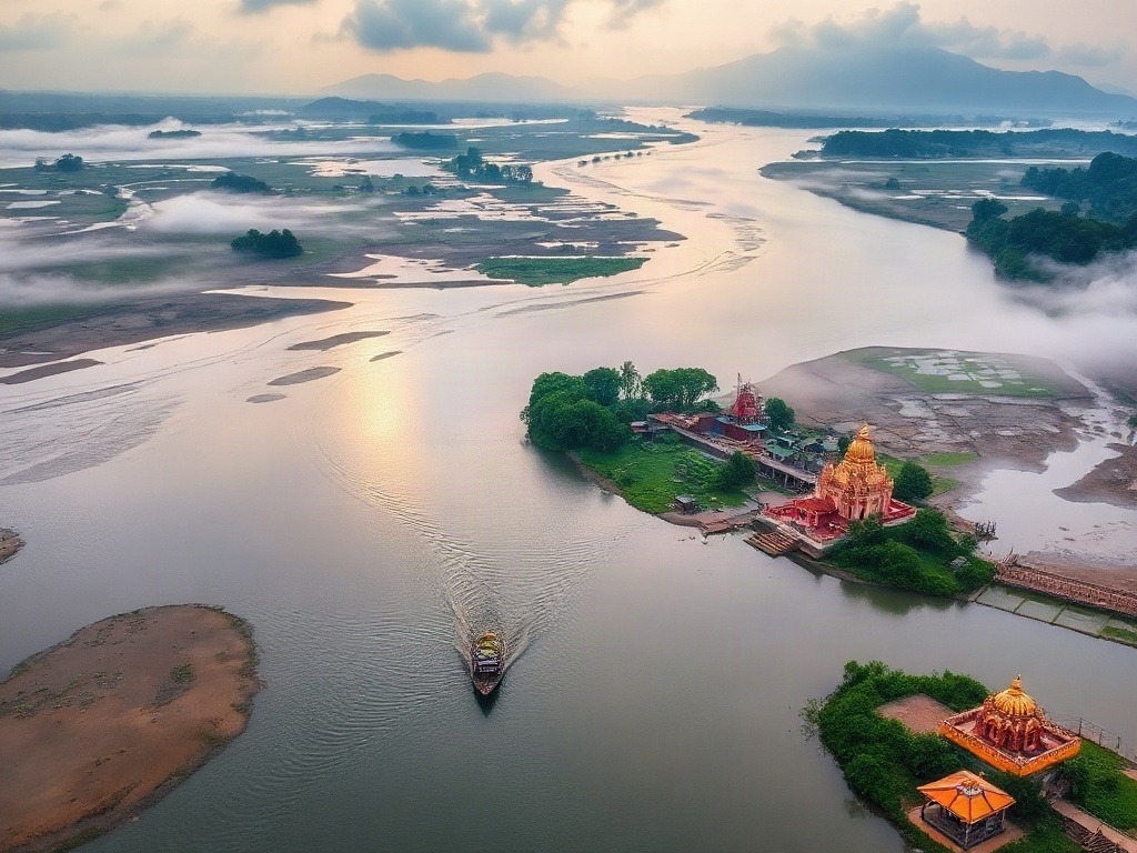
The Ganga isn't just a geographical feature; it's a civilizational anchor. It originates in the Western Himalayas, flows southeastward through the Indo-Gangetic plains, and meets the Bay of Bengal after forming the world's largest delta with the Brahmaputra — the Sundarbans.
Major tributaries to remember: On the right bank (south), you have the Yamuna, Tons, Betwa, Ken, and Sone. On the left bank (north), you have the Ramganga, Gomti, Kosi, and Mahanadi. The Yamuna, particularly, is crucial because it's the second lifeline of North India and passes through Delhi, where water scarcity is a persistent issue.
The Brahmaputra: India's Problematic River
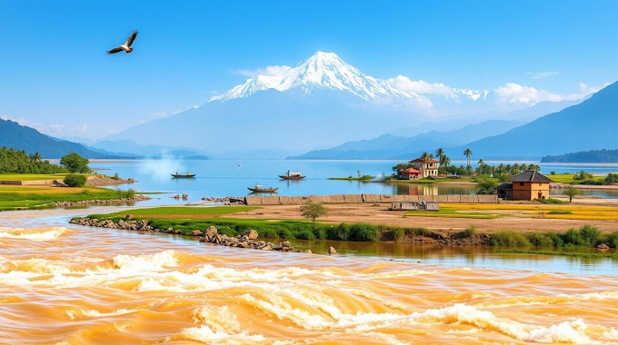
The Brahmaputra is one of those topics that always shows up in exams, and for good reason. It flows through Tibet (where it's called the Tsangpo), enters India in Arunachal Pradesh, and flows through Assam. It's characterized by massive seasonal variation — during monsoons, it causes devastating floods, and during dry seasons, it shrinks dramatically.
One interesting fact that helps many students remember this: the Brahmaputra is one of India's few rivers that's NOT heavily dammed. Why? Because of its course through geologically active zones and the challenge of managing a river with such enormous seasonal variation.
Southern Rivers: The Deccan's Water Supply
The four major peninsular rivers are the Godavari, Krishna, Kaveri, and Mahanadi. Here's a memory trick I use in my classes: "GKKM" — Godavari, Krishna (both mega-basins), Kaveri, Mahanadi. These rivers are lifelines for southern and central agriculture.
The Godavari basin spreads across Maharashtra, Telangana, Chhattisgarh, and Andhra Pradesh — it's a massive irrigation network. The Krishna is equally important and has been a source of interstate water disputes (the Krishna Waters Disputes Tribunal has had multiple phases). The Kaveri, flowing through Karnataka and Tamil Nadu, is probably the most contested river in India, with multiple legal battles between states.
These southern rivers have taught me an important lesson to share with you: Indian geography isn't just about physical features. It's about politics, water disputes, irrigation, and survival. When your exam asks about the Kaveri, they're not just asking about a river — they're asking about an interstate water dispute that's been ongoing since independence.
Lakes: India's Forgotten Water Treasures
Lakes are criminally underrepresented in most geography discussions, but they matter. A lot.
India has both freshwater and salt lakes, and distinguishing between them is crucial for exams. The largest freshwater lake is Wular Lake in Kashmir (though it fluctuates seasonally). The largest salt lake is Chilika Lake in Odisha, which is actually a brackish lagoon and happens to be a Ramsar wetland of international importance.
Here's my teaching approach: instead of memorizing "Lake X is in Location Y," understand what makes lakes important. Wular Lake is important for Kashmir's ecology and water supply. Dal Lake matters because of Srinagar's tourism and ecosystem. Loktak Lake in Manipur is unique for its floating vegetation islands called "phumdis." Sambhar Lake is India's largest salt lake and is crucial for salt production.
Then you have artificial lakes — reservoirs created by dams. The Bhakra Nangal reservoir, Hirakud, Nagarjuna Sagar — these are created water bodies that now function as natural lakes in terms of their ecological importance.
Let me give you practical advice: when studying lakes, ask yourself three questions. One: Where is it? Two: What type is it (freshwater/saline/brackish)? Three: Why does it matter (ecology, irrigation, tourism, or cultural significance)? If you can answer these for major lakes, you're golden for exams.
| River/Lake | Location | Type/Key Feature | Significance |
|---|---|---|---|
| Ganga | Northern India | Perennial, 2,520 km | Supports 400M+ people |
| Brahmaputra | Northeast India (Assam) | Perennial, extreme seasonality | Floods, 2nd major delta |
| Godavari | South-Central India | Monsoon-fed, 1,465 km | Major irrigation |
| Krishna | Deccan Peninsula | Monsoon-fed, 1,400 km | Water dispute zones |
| Wular Lake | Kashmir | Freshwater, largest in India | Ecology, water supply |
| Chilika Lake | Odisha | Brackish, Ramsar site | Wildlife, fisheries |
| Sambhar Lake | Rajasthan | Saline, largest salt lake | Salt production |
Connecting Geography to Real Life
This is where I want to shift gears and talk about why this all matters beyond your exam score.
I had a student once who was struggling with understanding river systems until we discussed water crisis in Chennai. Suddenly, it clicked. He realized that the Kaveri shortage during dry months directly affects a city of 7 million people. The geography became real. The dams, the tributaries, the seasonal variation — all of it suddenly mattered because it meant people couldn't get drinking water.
Similarly, the Brahmaputra floods aren't just an exam question. Every monsoon, they displace hundreds of thousands in Assam. The Narmada Valley Project wasn't just about building dams — it was one of India's most controversial environmental projects because it would displace tribal communities.
My advice? As you study these rivers and lakes, try to connect them to real news stories. Read about water disputes. Understand monsoon patterns and how they affect river flow. Look at maps and trace the rivers yourself. Don't just read about the Ganga — understand why it's considered sacred, why it's polluted despite its significance, and what efforts are being made to clean it.
This approach does two things: it makes memorization unnecessary (because you understand the context), and it makes you a better-informed citizen. That second part matters more than your exam, honestly.
A Final Word on River Basins and Drainage Patterns
One last thing before we wrap up. The concept of river basins is crucial and often misunderstood. A river basin isn't just the river itself — it's the entire area that drains into that river. The Ganga basin covers 26% of India's area. That means rain falling anywhere in that massive region eventually makes its way to the Ganga. Understanding this helps you appreciate why these rivers are so significant and why their pollution or mismanagement affects millions.
I also want to emphasize that India's drainage patterns are directly affected by its topography, monsoon winds, and seasonal variations. The Western Ghats, for instance, don't just create scenic mountains — they create a rain shadow effect that determines how much water flows in the peninsula's rivers. Geography is interconnected. Master that principle, and everything else follows.
A) Krishna B) Godavari C) Kaveri D) Mahanadi
Answer: B) Godavari — This name reflects its significance and size in South India.
A) Assam B) Arunachal Pradesh C) Meghalaya D) Tripura
Answer: B) Arunachal Pradesh — It enters from Tibet, then flows through Assam.
A) Dal Lake B) Wular Lake C) Loktak Lake D) Bhimtal
Answer: B) Wular Lake — Located in Kashmir, though its size fluctuates seasonally.
A) Brahmaputra and Meghna B) Ganga and Brahmaputra C) Ganga and Meghna D) Yamuna and Ganga
Answer: B) Ganga and Brahmaputra — This delta is the world's largest and is home to the Bengal Tiger.
A) Brahmaputra B) Ganga C) Godavari D) Indus
Answer: B) Ganga — The Ganga basin covers approximately 26% of India's total geographical area.
Published by Dattatray Dagale • 27 September 2026
.jpg)
.png)


.png)



.png)
0 Comments