Why India's Climate is Basically a Love Story with the Monsoon
Let me start with something I tell every batch of students who walk into my classroom looking absolutely terrified of Indian geography. The monsoon isn't some random weather phenomenon that the question-setter threw at you to make your life miserable. It's the heartbeat of India. Literally.
Think about it this way: if you were designing a country, you'd want reliable rainfall for agriculture, right? Well, whoever set up India's climate system did exactly that. The monsoon is that reliable friend who shows up every year without fail (okay, mostly without fail) and decides whether farmers celebrate or cry that year. It influences which crops grow where, where people settle, what they eat, how much they earn — everything.
Now, I've been teaching this topic for over a decade, and I can tell you that most students make the monsoon way more complicated than it actually is. They memorize pressure systems and wind patterns like robots, then forget everything by exam day. But here's what I've learned works: understand the *why* first, then the details fall into place naturally. So let's do that together.
Understanding India's Tropical and Subtropical Climate
Before we even talk about the monsoon, you need to understand India's basic climate setting. India sits between roughly 8°N and 35°N latitude, which means most of it is tropical or subtropical. That's your foundational fact number one.
Here's what that means in plain English: India gets *a lot* of sun. The Tropic of Cancer cuts right through the middle of the country, passing through Gujarat, Rajasthan, Madhya Pradesh, and so on. Anything around the equator or between the tropics gets intense, direct sunlight for much of the year. More sun = more heat = more evaporation = more moisture in the atmosphere. This is why Indian summers are no joke.
The Four Seasons and How They Work
Okay, here's where I usually draw a simple circle on the board because it helps students visualize this better. India experiences four distinct seasons, but they're not like what your Netflix shows about London portray!
Winter (December to February): This is when the sun is directly over the Tropic of Capricorn (in the Southern Hemisphere), so India's in the shade, relatively speaking. Temperatures drop, especially in the north. You get morning fog in Delhi, and yes, people finally stop sweating during commute time.
Summer (March to May): The sun's moving back toward the equator and then toward the Tropic of Cancer. Temperatures absolutely soar. North India gets scorching hot. Delhi, Lucknow, even parts of Central India hit 45°C+ regularly. This is when the pressure systems start shifting, and here's where the monsoon setup begins.
Southwest Monsoon (June to September): The star of our show. This is the rainy season, and I'll explain exactly how this works in the next section.
Retreating/Northeast Monsoon (October to November): The monsoon pulls back, rainfall decreases, and it transitions toward winter again.
You know what's funny? Most students don't realize that India's "winter" is from December to February, but everyone in India is actually thinking of June-July as the cooling season because of the monsoon. That's how dominant this system is in the Indian psyche!
The Southwest Monsoon: India's Most Important Weather System
Alright, now we get to the good stuff. This is the section where everything clicks. Let me walk you through how the monsoon actually works, and I promise I'll make it make sense.
Why Does the Monsoon Happen? The Pressure System Story
During summer (March-May), the sun is over the Tropic of Cancer. North India, especially the landmass, heats up incredibly fast. Water heats up slowly, but land heats up super quickly. So the Rajasthan-Punjab-central plains regions become scorching hot.
When land heats up, the air above it heats up too. Hot air is less dense, so it rises. When air rises, it creates a *low-pressure zone* below it. Meanwhile, the Indian Ocean to the south? It's relatively cooler because water doesn't heat as fast. Cooler air means *high pressure*.
Here's the golden rule that explains literally everything about winds: **air always moves from high pressure to low pressure**. It's like water flowing downhill. So the moisture-laden winds from the Indian Ocean (high pressure, cool) start flowing toward the hot landmass of North India (low pressure, hot).
But wait—there's a Coriolis force involved (Earth's rotation), which deflects these winds. And because of this deflection, the winds don't blow straight north; they blow from the *southwest*. That's why we call it the Southwest Monsoon. Boom—there's your pressure system logic, and it's rock solid once you get it.
The Journey of Monsoon Winds Across India
The Southwest Monsoon doesn't just magically appear everywhere at once. It actually advances into India in stages. This is crucial for exams because questions often ask about timing and regional variations.
The monsoon typically reaches Kerala around June 1st (there's actual data on this, meteorologists track it). Then it slowly advances northward and covers the entire country by early July. But here's the thing—different parts of India get different amounts of rainfall because of topography, distance from the sea, and wind direction.
The Western Ghats are coastal mountains running along India's western edge. When the southwest monsoon winds hit these mountains coming from the ocean, they're forced to rise. When air rises, it cools. Cool air can't hold moisture, so it rains heavily. The Western Ghats get absolutely drenched—places like Mawsynram in Meghalaya get over 11,000 mm of rainfall annually! That's insane.
But here's the twist: once these winds cross the mountains and move inland into the Deccan Plateau, they've already lost most of their moisture. So the leeward side (the side facing away from the ocean) gets much less rain. Pune gets about 600 mm, while places just 100 km away on the coastal side get 2000+ mm. Same monsoon, totally different rainfall.
Let me give you my favorite memory trick for monsoon regions. I call it the **"WET-DRY-WET"** pattern:
- WET: Western coastal areas (Western Ghats, Kerala, coastal Maharashtra, Gujarat coast)
- DRY: Deccan Plateau interior (Pune, Hyderabad region, parts of Karnataka)
- WET: Northern plains and northeastern regions (Assam, Meghalaya, parts of UP)
The northeast gets wet again because the monsoon winds, after crossing the peninsula, pick up moisture from the Bay of Bengal and bring rain to northeastern India. That's why Assam and Meghalaya are so incredibly green and wet.
| Region | Annual Rainfall | Monsoon Pattern |
|---|---|---|
| Western Ghats (Kerala, Konkan Coast) | 2000-5000 mm | Very Heavy (windward slope) |
| Deccan Plateau (Interior) | 600-1000 mm | Light to Moderate (rain shadow) |
| Northern Plains (Delhi, UP, Bihar) | 1000-1500 mm | Moderate to Heavy |
| Northeastern Region (Assam, Meghalaya) | 2000-3000 mm | Very Heavy (Bay of Bengal branch) |
| Western Rajasthan (Jaisalmer, Barmer) | 100-300 mm | Very Light (away from moisture) |
Other Monsoons and Seasonal Weather Systems
Here's where most textbooks confuse students unnecessarily. There's not just one monsoon in India—there are multiple wind and pressure systems at play. Let me break it down simply.
The Northeast Monsoon (October to February)
After the southwest monsoon retreats (around September), the pressure systems flip again. The landmass cools down faster than the ocean (remember, land loses heat quickly). So now the ocean is relatively warmer and creates low pressure, while the land becomes high-pressure.
Winds flow from this land (high pressure) toward the ocean (low pressure). But again, the Coriolis force deflects these winds, so they blow from the *northeast*. This brings some rainfall to coastal areas, especially the Coromandel Coast (Tamil Nadu and Andhra Pradesh coast). Interior regions stay relatively dry during this period because these winds are moving away from the land's interior.
That's actually why the Deccan and much of South India has a dry season during October-February even though the northeast monsoon is happening. It's the wind direction—it's pushing moisture toward the ocean, not inland.
Cyclones and Western Disturbances
You also need to know about two other important weather systems, and I'll keep this brief because they're secondary but definitely exam-worthy.
Western Disturbances (Winter Cyclones): These are low-pressure systems that originate in the Mediterranean region and move eastward. They bring winter and spring rainfall to North India, particularly to Punjab, Himachal Pradesh, and Kashmir. They usually occur from December to March. Farmers in these regions actually rely on these western disturbances for their rabi crop irrigation.
Tropical Cyclones: These form over warm ocean waters and can occur during pre-monsoon (April-May) and post-monsoon seasons (October-November). They often cause heavy rainfall and strong winds. You've probably heard news about cyclones hitting the Bay of Bengal or Arabian Sea coasts.
Variability and Impact: Why the Monsoon Matters for India
Here's what I absolutely want you to understand because this gets asked in different forms repeatedly in competitive exams: the monsoon isn't consistent every year. Some years it's "good" (normal or excess rainfall), some years it's "poor" (deficient rainfall).
Why does this matter? Because India's agriculture is heavily dependent on monsoon rainfall. We're talking about roughly 60% of India's agricultural output depending on the monsoon. When the monsoon fails or is weak, farmers suffer, food prices rise, the economy gets affected. When it's surplus, everything thrives.
Variability can happen due to multiple factors: El Niño and La Niña patterns (ocean-temperature phenomena that influence global climate), pressure systems shifting, changes in the jet stream—it's all interconnected. This is why the Indian Meteorological Department closely monitors monsoon forecasts, and it's news every year.
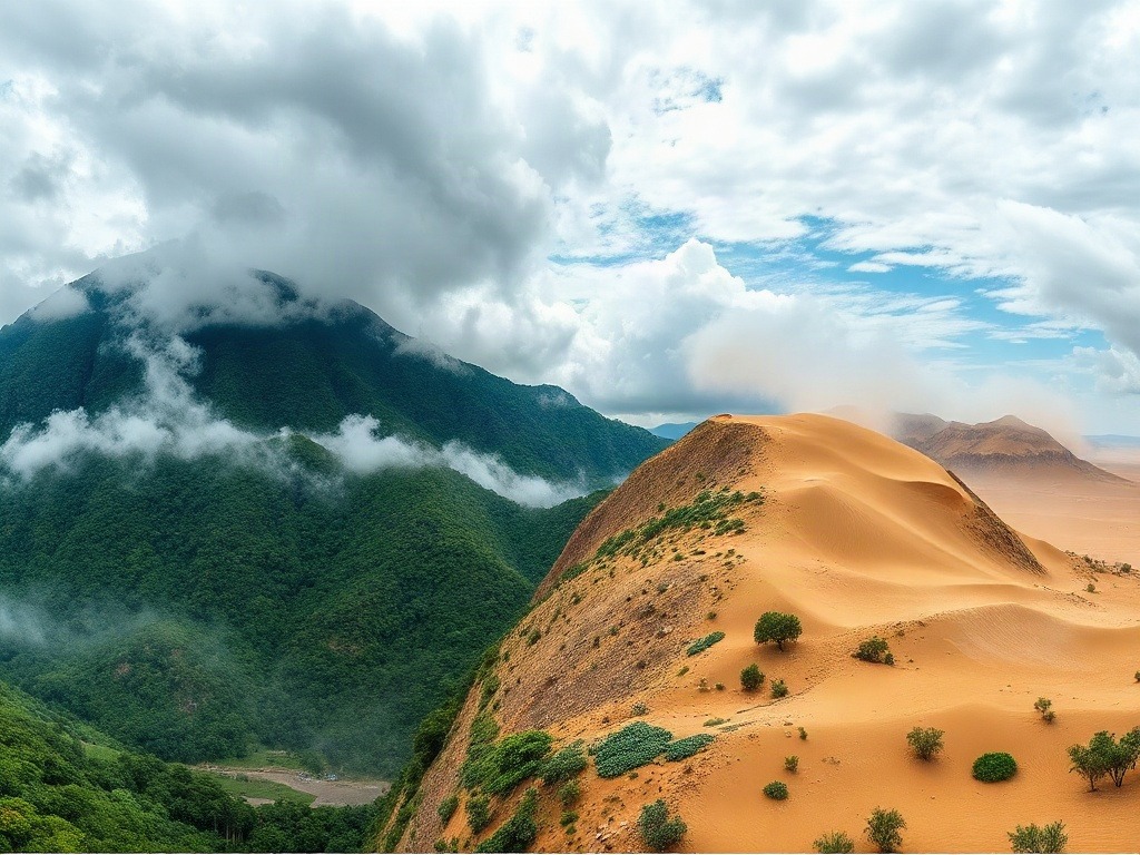
One more thing about Indian climate that makes it unique: despite being tropical, we have desert areas (Rajasthan gets almost no rain), we have rainforests (Western Ghats, Northeastern India), and we have temperate mountain regions (Himalayas). This huge variety exists because of how the monsoon behaves and how topography influences it.
When you're revising this topic, remember that climate in India isn't random. It's a logical consequence of geography—latitude, distance from ocean, altitude, topography, and monsoon systems. Once you see that logic, everything becomes memorable.
Quick Revision Table for Monsoon Memory
| Monsoon Type | Timing | Wind Direction | Affected Regions |
|---|---|---|---|
| Southwest Monsoon | June-September | SW (Ocean to Land) | Entire India, heaviest on coasts and northeast |
| Northeast Monsoon | October-February | NE (Land to Ocean) | Coromandel Coast, parts of S. India |
| Western Disturbances | December-March | W-E (Mediterranean origin) | North India, Himalayas, Punjab |
So there you have it—the complete picture of how India's monsoon and climate work. The next time someone asks you about Indian geography and weather, you'll know exactly why the monsoon is so important, how it works, and why different parts of India experience such different rainfall patterns. That's the kind of understanding that sticks in exams and helps you score well on both MCQs and descriptive sections.
The key takeaway? India's climate is monsoon-driven, and everything about it traces back to pressure systems, landmass heating, and the Coriolis force. Understand those fundamentals, and you've basically cracked this entire topic.
---Practice Questions to Test Your Understanding
A) Pune is at a higher altitude and receives less monsoon wind
B) Pune lies in the rain shadow of the Western Ghats, while the Ghats face the windward side
C) The southwest monsoon doesn't reach Pune until late September
D) Pune is too far south to be affected by the monsoon
Answer: B) Pune lies in the rain shadow of the Western Ghats, while the Ghats face the windward side
A) The movement of the jet stream from south to north
B) Rapid heating of the landmass, causing hot air to rise
C) The cooling of the Indian Ocean
D) The influence of Western Disturbances from the Mediterranean
Answer: B) Rapid heating of the landmass, causing hot air to rise
A) Western coast (Kerala, Karnataka, Goa)
B) Coromandel Coast (Tamil Nadu, Andhra Pradesh)
C) Northern plains (Uttar Pradesh, Bihar)
D) Northeastern states (Assam, Meghalaya)
Answer: B) Coromandel Coast (Tamil Nadu, Andhra Pradesh)
A) April-May
B) June-early July
C) August-September
D) October-November
Answer: B) June-early July
A) It's located on the equator and receives direct sunlight
B) It's positioned on the windward slope facing moisture-laden winds from the Bay of Bengal
C) It has the lowest altitude in India
D) It lies directly in the path of Western Disturbances
Answer: B) It's positioned on the windward slope facing moisture-laden winds from the Bay of Bengal
Published by Dattatray Dagale • 05 September 2026
.jpg)
.png)



.png)



.png)


0 Comments