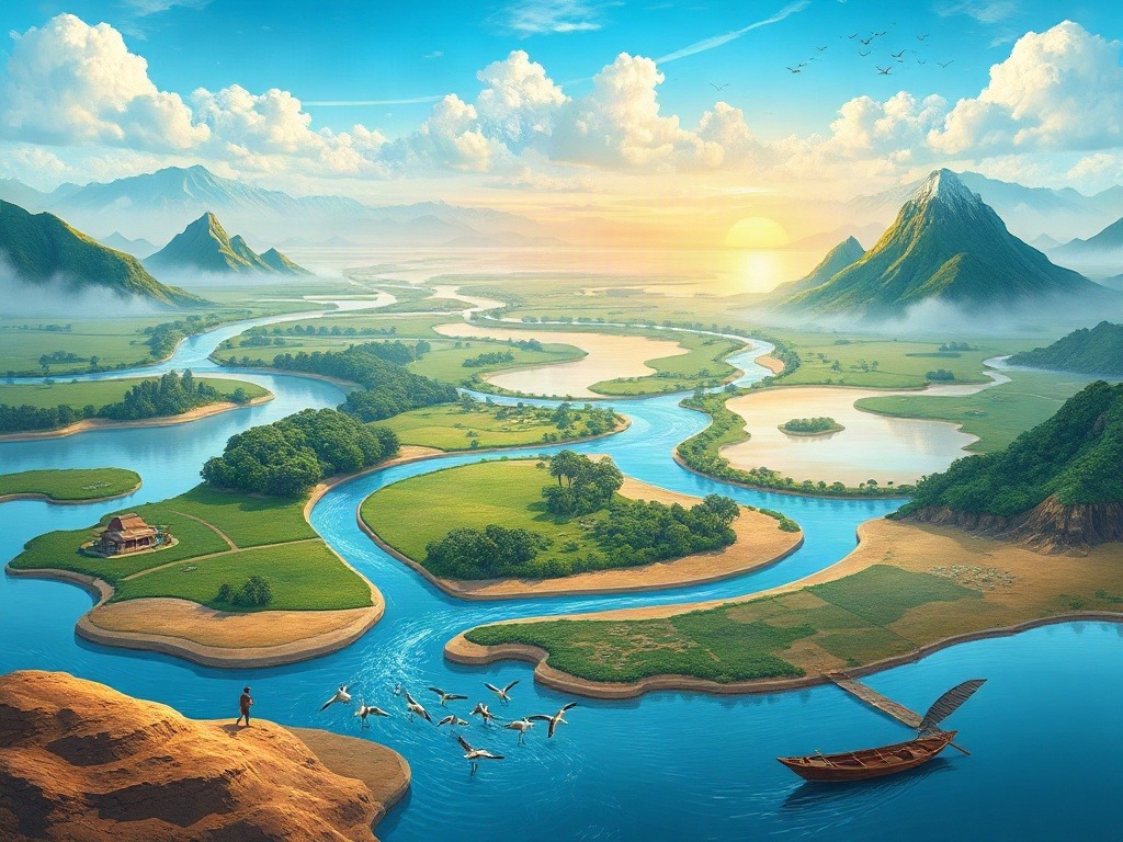
Why Understanding India's Water Systems Actually Matters
Listen, I've been teaching geography for over a decade now, and I can tell you with absolute certainty: students who understand India's river systems don't just score better on SSC and UPSC exams—they actually *understand* India. And that's the real win.
Here's what I mean. When you know that the Indus flows westward into Pakistan, or that the Brahmaputra is called "Tsangpo" in Tibet, you're not just memorizing facts. You're understanding how India's geography shaped its history, economy, politics, and culture. You're seeing why the Deccan Plateau matters, why Bengal is fertile, why Rajasthan is dry.
I had a student once—Priya from Mumbai—who struggled with river questions until we started talking about them like characters in a story. The Ganga wasn't just a river; she was the lifeline of North India, the cultural heartbeat, the reason millions of cities exist along her banks. Suddenly, questions about why the Ganga Plain is so densely populated or why it floods made *sense*. She went from 30% to 89% on her geography section. True story.
So let's dive in properly. Not just memorize, but understand.
The Three Major Drainage Systems: Your Foundation
India has three major river systems, and here's a memory trick I share with all my students: HIM-GAN-BRA. Himalayan rivers (flowing eastward), Gangetic rivers (flowing through the plains), and Brahmaputra rivers (flowing from the northeast). Actually, that's not quite right—let me give you the real framework.
India's rivers flow in three directions based on the topography. Most students get confused here, so I'll be crystal clear:
The Himalayan Drainage System (Flowing to the Bay of Bengal)
These are your northern rivers. The Indus, the Ganga, and the Brahmaputra are the three biggies. They originate in the Himalayas and flow through the Indo-Gangetic Plain. Think of the Himalayan region as a massive water factory—every single major river that sustains North India comes from here.
The Indus is actually India's longest river at 2,900 km, but here's the tragic part—most of it doesn't flow through India anymore. It flows through Pakistan. We only get about 1/3 of it within Indian territory, flowing through Ladakh and the Punjab region. The Indus Waters Treaty (1960) is actually one of the most successful international water-sharing agreements in the world, which is why we share it with Pakistan.
The Ganga—ah, the holy river. 2,500 km long, and it's the lifeline of India. Originates in Uttarkashi as the Bhagirathi, flows through the entire Indo-Gangetic Plain, picks up tributaries like the Yamuna (from the right), Ghagra, Gandak, and Kosi, and finally empties into the Bay of Bengal through the largest delta in the world—the Sundarbans. Here's something amazing: the Ganga basin alone supports nearly 400 million people. That's more than the entire population of the USA living in one river basin.
The Brahmaputra (meaning "son of Brahma" in Sanskrit) is technically longer than the Ganga if you measure its total course—2,900 km—but most of that is outside India. It originates in Tibet as the Tsangpo, enters India through Arunachal Pradesh, flows through Assam (where it's called the Brahmaputra), and joins the Ganga in Bangladesh to form that massive Sundarbans delta. The Brahmaputra is unique because it's a braided river with shifting channels and lots of islands. Majuli, one of the largest river islands in the world, is in the Brahmaputra.
The Deccan Drainage System (Flowing to the Arabian Sea and Bay of Bengal)
These rivers drain the Deccan Plateau. They're shorter and have less water compared to Himalayan rivers, which is why South India faces more water scarcity challenges.
The Godavari is the second longest river in India (1,465 km) and is sometimes called the "Dakshin Ganga" (the Ganga of the South). It originates in Maharashtra and flows through Telangana, Andhra Pradesh, and empties into the Bay of Bengal. The Godavari basin supports agriculture across multiple states—it's crucial for irrigation.
The Krishna (1,300 km) is another major river flowing through Karnataka, Telangana, and Andhra Pradesh. It's known for supporting some of India's most fertile agricultural regions.
The Narmada and Tapti are unique—they're the only major Indian rivers that flow westward into the Arabian Sea. The Narmada originates in Madhya Pradesh and flows through a rift valley (the Narmada Valley), which is geologically fascinating. It's also deeply connected to Indian politics through the controversial Narmada Valley Project.
The Coastal Drainage System
These are shorter rivers that flow directly into the sea—the Mahanadi in Odisha, the Periyar in Kerala, the Mahi in Gujarat. They're less significant for all-India exams but important for state-level questions.
Understanding Tributaries and Why They Matter
Now, here's where most students struggle—they memorize that the Yamuna is a tributary of the Ganga but don't really understand why this matters for exam questions.
Tributaries are rivers that join a major river. They're important because:
1) They increase the water capacity of the main river. The Yamuna contributes significantly to the Ganga's flow, especially during dry seasons.
2) They tell you about regional geography. If I ask you "Which state does the Yamuna flow through?" you know it's Delhi, which might lead to a question about capital city geography or river pollution (very topical these days).
3) They're political boundaries. Rivers often form state boundaries, and tributaries help define these. The Sutlej separates Punjab from Himachal Pradesh.
Let me give you a trick for remembering major Ganga tributaries. I call it the "YGK Rule"—Yamuna (from right), Ghagra, Kosi (I know, the K is forced, but it sticks!). These three contribute massively to the Ganga. Add the Gandak and Gharipur, and you've got the major ones.
The Yamuna, by the way, is severely polluted in Delhi. This is actually a common UPSC question theme—river pollution, water quality, and environmental degradation. Don't skip this aspect.
Indian Lakes: Much More Than Just Water Bodies
You might think lakes are less important than rivers, but trust me—they come up in exams, and understanding them gives you serious geographical insight.
India has freshwater lakes and saltwater lakes, and here's the key difference: freshwater lakes are usually in mountainous or highland regions (formed by glaciers or rainfall), while saltwater lakes are in arid regions where evaporation exceeds inflow.
Major Freshwater Lakes
Dal Lake in Kashmir is probably the most famous—beautiful, surrounded by mountains, and home to the iconic houseboats. But here's a geography fact: it's shrinking due to silt accumulation and pollution. Classic environment question.
Wular Lake in Kashmir is actually India's largest freshwater lake (though it fluctuates seasonally). Loktak Lake in Manipur is unique—it has floating vegetation islands called "phumdis." Both are important for biodiversity.
Bhimtal and Nainital in Uttarakhand are glacial lakes in the foothills—formed during the ice age and now major tourist destinations.
Major Saltwater/Saline Lakes
Sambhar Lake in Rajasthan is India's largest saltwater lake. It's an important source of salt production, which you might see in economic geography questions.
Chilka Lake in Odisha is a brackish water lake (mixture of salt and fresh water) and is a critical habitat for migratory birds, especially flamingos. It's a Ramsar wetland site, which is relevant for UPSC environmental questions.
Pulicat Lake on the Tamil Nadu-Andhra Pradesh border is another important brackish water lake and bird sanctuary.
Lonar Lake in Maharashtra is geologically unique—it's a crater lake formed by a meteor impact. Yes, a meteor hit India! That's why it's surrounded by a perfectly circular rim. If you get a question about India's unusual geological features, Lonar might be the answer.
| Lake Name | Location | Type | Notable Feature |
|---|---|---|---|
| Dal Lake | Kashmir | Freshwater | Houseboats, shrinking |
| Wular Lake | Kashmir | Freshwater | Largest freshwater lake |
| Loktak Lake | Manipur | Freshwater | Floating islands (phumdis) |
| Sambhar Lake | Rajasthan | Saline | Largest saltwater lake, salt production |
| Chilka Lake | Odisha | Brackish | Bird sanctuary, Ramsar site |
| Lonar Lake | Maharashtra | Saline | Meteor crater |
Drainage Patterns and Why Geologists Get Excited About Them
Okay, so drainage patterns might sound boring, but they actually tell you incredible things about the terrain, rocks, and geological history of a region. And yes, they do come in exams.
A drainage pattern is basically the way streams and rivers arrange themselves on the landscape. Think of it like the pattern of cracks on a broken vase—the shape tells you something about how the break happened.
Dendritic Drainage looks like tree branches (dendrite = tree). This happens on flat terrain or homogeneous rock types. The Ganga basin shows dendritic drainage in parts. It's the most common pattern.
Radial Drainage happens when rivers flow outward from a central high point—like spokes from a wheel. The Nilgiri Hills in South India show this pattern because rivers radiate outward from the mountain peaks.
Rectangular Drainage occurs where rock fractures or faults control the river direction. Rivers follow these pre-existing lines of weakness. Parts of the Indus basin show this pattern.
Trellis Drainage happens when you have parallel mountain ridges—rivers flow down the ridges and then join at right angles to the main valley river. You'll see this in the Himalayan regions.
Why does this matter for your exam? Because if someone gives you a river map and asks you to identify the terrain, drainage patterns are your clue. Dendritic pattern = flat plains. Radial = mountainous. Rectangular = fault-controlled. It's detective work.
Deltas, Estuaries, and the Sundarbans Story
Now here's something fascinating that connects geography to real-world environmental issues.
A delta forms where a river meets the sea and deposits silt, creating a triangular (or sometimes fan-shaped) landform. An estuary is where a river meets the sea but is dominated by tidal influence—it's more of a submergence feature than silt deposition.
The Sundarbans (the combined delta of Ganga and Brahmaputra) is the largest delta in the world. It's a UNESCO World Heritage site, home to the Bengal tiger, and spread across India and Bangladesh. The delta is constantly changing shape due to silt deposition and erosion. And here's the critical part for UPSC aspirants—it's one of the most vulnerable areas to sea-level rise due to climate change. Students who understand Sundarbans can answer questions about climate vulnerability, biodiversity hotspots, and human-wildlife conflict.
The Mahanadi Delta in Odisha, the Krishna-Godavari Delta, and the Kaveri Delta in Tamil Nadu are other important deltas, each supporting millions through agriculture and fishing.
Estuaries like Chilka, Pulicat, and the Backwaters of Kerala are ecologically unique—they're transition zones between rivers and oceans, supporting unique flora and fauna adapted to brackish conditions.
The Monsoon Connection: Why Seasonal Variation Matters
Here's something that changed my teaching forever. I realized that students don't understand why Indian rivers behave so differently in monsoon versus non-monsoon seasons.
Most Indian rivers are monsoon-dependent. During the southwest monsoon (June to September), they swell with water. The rainfall across the Western Ghats and the Himalayas feeds the rivers enormously. But during winter and summer, water flow decreases dramatically.
This is why water storage and irrigation dams are so important in India. You can't just rely on seasonal river flow. This is the geography behind India's dam and irrigation projects—it's not just about development, it's about survival.
The monsoon-dependence also explains regional droughts. Rajasthan, for instance, gets less than 50 cm of annual rainfall and has weak river systems (most rivers dry up during non-monsoon season). Meanwhile, the Western Ghats and the Assam region get over 200 cm of rainfall annually.
This connects to everything—agriculture patterns, settlement distribution, economic development, and water politics. Students who truly understand this monsoon-river relationship ace their geography sections because they see the bigger picture.
Quick Revision Table for Major Rivers
| River Name | Length (km) | Source | Direction | Outlet |
|---|---|---|---|---|
| Indus | 2,900 | Tibetan Plateau | Southwest | Arabian Sea (Pakistan) |
| Ganga | 2,500 | Uttarkashi (Himalaya) | Southeast | Bay of Bengal (Delta) |
| Brahmaputra | 2,900 | Tsangpo (Tibet) | South-Southeast | Bay of Bengal (Delta) |
| Godavari | 1,465 | Nasik (Western Ghats) | Southeast | Bay of Bengal |
| Krishna | 1,300 | Mahabaleshwar (Western Ghats) | Southeast | Bay of Bengal |
| Narmada | 1,312 | Amarkantak (Central India) | West | Arabian Sea |
Final Thoughts: Make This Stick
Geography isn't about memorizing lists—it's about seeing connections. When you study the Ganga, don't just know it's 2,500 km long. Ask yourself: Why is it called holy? Why do 400 million people depend on it? Why is it dying? What does this tell me about overpopulation, pollution, and climate change?
When you learn about the Sundarbans, see it as a real place where real tigers live and real people face sea-level rise. When you study drainage patterns, imagine yourself as a geologist reading the story written in the landscape.
This approach—connecting geography to real life, to history, to current events—is what separates students who score 60% from those who score 90%. And honestly? It makes studying more fun too.
Now go tackle those practice questions below, and remember: geography is storytelling. Each river, each lake, each pattern tells a story about India. Your job is to learn to read it.
Practice Questions to Test Your Understanding
A) Godavari B) Krishna C) Narmada D) Brahmaputra
Answer: C) Narmada — This is one of India's few west-flowing rivers, making it geologically unique.
A) Dal Lake B) Lonar Lake C) Sambhar Lake D) Chilka Lake
Answer: B) Lonar Lake — The circular shape of this lake is the giveaway that it's a crater lake.
A) Dal Lake B) Loktak Lake C) Wular Lake D) Bhimtal Lake
Answer: C) Wular Lake — Located in Kashmir, it's the largest freshwater lake, though it fluctuates seasonally.
A) Godavari and Krishna B) Ganga and Brahmaputra C) Narmada and Tapti D) Indus and Sutlej
Answer: B) Ganga and Brahmaputra — This is the world's largest delta and spans India and Bangladesh.
A) Dendritic B) Radial C) Rectangular D) Trellis
Answer: B) Radial — The Nilgiri Hills in South India show radial drainage as rivers flow outward from the peaks.
Published by Dattatray Dagale • 02 September 2026
.jpg)
.png)



.png)



.png)
0 Comments