Introduction
Let me start with something I've noticed after teaching thousands of students: the moment you understand India's mountains, half of your geography section becomes crystal clear. Seriously. It's like learning the skeleton before studying anatomy — everything else just fits into place.
I remember one of my students, Priya, came to me completely stressed about geography. She'd memorized mountain names but couldn't remember which pass connected to which range or why certain passes were historically important. One evening, I took her to a local hill station photograph and said, "Look, these aren't just random rocks. These mountains decided where empires rose, where trade routes flourished, and where India's climate divides itself." Something clicked. Within weeks, she scored 32/35 in the geography section.
That's what we're doing today. We're not just listing mountains like they're items on a grocery list. We're understanding them as the backbone of Indian civilization, economy, and culture. Whether you're preparing for SSC CGL, UPSC, or just want to genuinely understand your country's geography, this deep dive into mountain ranges and passes will change how you see India forever.
The Great Himalayan System: India's Northern Crown
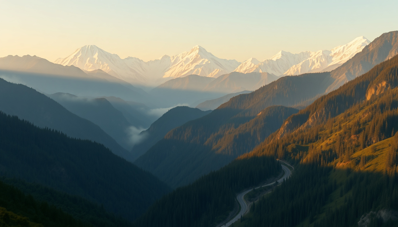
The Himalayas aren't just mountains—they're a living, breathing system that sustains almost two billion people across Asia. For your exams, you need to understand that the Himalayas form a crescent arc running roughly 2,400 kilometers from west to east across northern India.
Understanding the Three-Tier Structure
Here's something I tell my students that makes this immediately memorable: imagine climbing up a staircase where each step is progressively older and more complex. That's the Himalayan system.
The Outer Himalayas (Shivaliks): These are the baby mountains—geologically speaking, they're the youngest. They're lower (about 600-1,500 meters) and covered with dense forests. The Shivaliks run along the foothills of the main Himalayas. When you see those green, forested hills in Himachal Pradesh or Uttarakhand, that's the Shivaliks.
The Lesser Himalayas (Himachal): Now we're climbing higher—these range from 1,000 to 4,500 meters. This is where you get the famous valleys of Kashmir and the hill stations like Shimla. The Lesser Himalayas are significant because they're home to most of the inhabited regions in the mountains.
The Greater Himalayas (Mahaihimalayas): And here's where the giants live. These are the peaks you see on postcards and documentaries. K2 (8,611 meters), Kangchenjunga (8,586 meters), and Mount Everest (8,849 meters) all belong to this range. They're the oldest and highest, with permanent snow and glaciers.
Let me give you a mnemonic that's stuck with students for years: "SHM"—Shivalik, Himachal (Lesser), Mahaihimalaya (Greater). Think of it as "She Has Mountains" going from smallest to largest.
Major Himalayan Peaks and Their Significance
Now, you don't need to memorize every peak, but there are strategic ones that keep appearing in exams:
Kangchenjunga (8,586 m) is India's highest peak. Yes, you read that right—not Everest, because Everest is on the Nepal-Tibet border and while visible from India, it's not technically the highest peak within Indian territory. Kangchenjunga straddles the India-Nepal border in Sikkim.
Nanda Devi (7,816 m) is entirely within Indian territory in Uttarakhand. It's sacred to local communities and also very significant for exams because it's the highest peak completely within India.
Kanchenjunga, Makalu, Cho Oyu are on the eastern section, while K2 sits in the western Himalayas (Karakoram range, which is technically a sub-range). K2 is the second-highest mountain in the world and falls in the Gilgit-Baltistan region, administered by Pakistan.
Mountain Passes: The Gateways of History
Here's the part that completely changed how my students understood Indian history and geography together. Passes aren't just geographic features—they're where civilizations met, where empires clashed, and where trade transformed societies. Every major invasion of India, every cultural exchange, every trade route has used these passes.
Think of mountain passes like doors in a fortress. There are only so many ways to get through, and whoever controls the doors controls the narrative.
The Major Passes: A Strategic Overview
Khyber Pass (1,027 m) in Afghanistan is probably the most historically significant. It's the gateway between Central Asia and the Indian subcontinent. Alexander the Great used it. So did countless other invaders. Even today, it's politically crucial—it's the border between Afghanistan and Pakistan.
Bolan Pass (570 m) connects Balochistan with Sindh. It's lower than Khyber but equally important historically for trade and military movements.
Rohtang Pass (3,978 m) in Himachal Pradesh connects the Kullu Valley with Lahaul-Spiti. This one's interesting because it shows how passes aren't just about invasions—they're about cultural exchange. The word "Rohtang" actually means "pile of bones" because so many travelers died crossing it in harsh weather. Dramatic, right? Now imagine studying this pass and remembering "bones" to recall this historically important gateway.
Niti Pass (3,668 m) connects Uttarakhand with Tibet. Lipulekh Pass (5,059 m) is even higher and connects Uttarakhand to the Tibetan plateau. These eastern passes are less famous but increasingly important given current geopolitical discussions.
Zanskar Pass and Chang La Pass (5,059 m) connect Ladakh with Tibet. Chang La is one of the highest motorable passes in the world, which is why it's come up in recent exams with geopolitical questions.
Here's a trick I tell students: "BRoLNZ"—Bolan, Rohtang, Lipulekh, Niti, Zanskar for the major passes you absolutely need to know. It sounds like a brand name, and that's exactly why it sticks in memory!
Western and Eastern Mountain Systems Beyond the Himalayas
Students often make a mistake here—they think only the Himalayas matter. Wrong. The Western and Eastern Ghats, the Aravallis, and the Vindhyas are equally important, especially for understanding peninsular India's geography and climate.
The Western Ghats: The Green Wall
The Western Ghats run parallel to the Arabian Sea for about 1,600 kilometers from the Tapi River in the north to Kanyakumari in the south. Here's why they matter: they're one of the world's most biodiverse regions. They receive the brunt of the Southwest monsoon, which makes them incredibly lush and green.
The passes here are different from Himalayan passes—they're lower and more about ancient trade routes. Pal Ghat Pass (also called Palakkad Pass) in Kerala is the lowest point in the Western Ghats and connects the coast with inland regions. It's around 500 meters high, which is why it's been crucial for spice trade and pepper commerce historically.
The Western Ghats are home to unique ecosystems and several endemic species. For your exam, remember that they influence India's southwest monsoon patterns significantly.
The Eastern Ghats and Nilgiri Passes
The Eastern Ghats are discontinuous and lower than the Western Ghats (rarely exceeding 1,000 meters). They run from Odisha down through Andhra Pradesh to Tamil Nadu, but they're broken up in many places by river valleys—particularly the Godavari and Krishna rivers.
Nilgiri Passes (also called the Blue Mountains) connect Tamil Nadu and Kerala. These are less dramatic than Himalayan passes but significant for trade and communication between the Malabar and Coromandel coasts.
Aravallis and Vindhyas: The Peninsular Divide
The Aravallis run diagonally across Rajasthan for about 800 kilometers. They're ancient—geologically speaking, some of the oldest mountains on Earth—and relatively lower (rarely above 1,000 meters). But here's what makes them fascinating: they divide the drainage of northern India. Rivers on one side flow to the Indus; on the other, to the Ganges.
The Vindhyas run east-west and are famous for marking a historical divide in Indian culture and climate. South of the Vindhyas, you get different rainfall, temperature patterns, and historically, even different cultural zones. This is why many exam questions link climate patterns to the Vindhyas.
| Mountain Range | Direction | Highest Peak | Key Significance |
|---|---|---|---|
| Himalayas | NW-SE Arc | Kangchenjunga (8,586 m) | Climate, water sources, border |
| Western Ghats | N-S along coast | Anamudi (2,695 m) | Monsoon, biodiversity |
| Eastern Ghats | Discontinuous N-S | Mahendragiri (1,645 m) | River divisions, lower height |
| Aravallis | Diagonal (NE-SW) | Guru Shikhar (1,722 m) | Water divide, ancient geology |
| Vindhyas | E-W | Amarkantak (1,049 m) | Cultural and climate divide |
Why This Matters for Your Exam (And Your Life)
Look, I get it. Mountains seem like dry geography facts. But here's what I've learned teaching for over a decade: examiners are clever. They don't ask "Where is the Himalayas?" That's too basic. They ask questions like:
"Which pass was historically used for the spice trade route?" (Answer: Pal Ghat)
"Which mountain range influences the Southwest monsoon most significantly?" (Answer: Western Ghats)
"What is the boundary between Transhumance migration routes?" (Answer: A deep understanding of where mountain ranges sit)
"Why did multiple empires use the Khyber Pass?" (Answer: It's the only viable route through difficult terrain)
Understanding mountains geographically helps you understand history, climate, economics, and geopolitics simultaneously. It's that interconnected.
I also tell students: learn the passes in context. Khyber Pass isn't just 1,027 meters high—it's the story of Alexander, the Mauryans, the Mughals, and modern geopolitics all compressed into one geographical feature. When you study it that way, it becomes memorable, and you answer questions confidently.
One more thing before you go—practice visualizing these mountains on a map. Every time you study, physically point to the location. Our brains remember spatial information better when we're physically engaged. I've seen students who draw their own maps remember far better than those who just read.
Quick Practice Questions
A) Mount Everest B) Kangchenjunga C) Nanda Devi D) Dhaulagiri
Answer: C) Nanda Devi (7,816 m in Uttarakhand)
A) Himachal Pradesh and Tibet B) Kerala coastal plains and inland regions C) Rajasthan and Gujarat D) Odisha and Andhra Pradesh
Answer: B) Kerala coastal plains and inland regions (It's the lowest point in Western Ghats)
A) Aravallis B) Vindhyas C) Satpuras D) Eastern Ghats
Answer: B) Vindhyas (They run E-W and separate North and South India)
A) India and China B) Afghanistan and Pakistan C) Nepal and Tibet D) Bhutan and Arunachal Pradesh
Answer: B) Afghanistan and Pakistan
A) Shivaliks B) Lesser Himalayas C) Greater Himalayas D) Karakoram Range
Answer: D) Karakoram Range (It's a separate sub-range, not part of the main three-tier Himalayan structure)
Published by Dattatray Dagale • 09 August 2026
.jpg)
.png)



.png)




.png)

0 Comments