Introduction
Let me be honest with you. When I first started teaching geography fifteen years ago, I thought rivers and lakes were boring topics. I mean, they're just water bodies, right? Wrong. Spectacularly wrong.
Over the last decade-plus of teaching SSC CGL and UPSC candidates, I've realized that understanding India's drainage system is like understanding the veins and arteries of the human body. Without them, the organism doesn't function. Similarly, without these water systems, India's civilization, agriculture, culture, and economy simply wouldn't exist.
Here's what fascinates me: the Ganges isn't just a river to millions of Indians—it's a lifeline, a deity, a history book, and an exam goldmine all rolled into one. And that's exactly why examiners love asking about it. Last year alone, I saw four different questions about the Indus and Ganges systems across various competitive exams.
So let's dive deep (pun intended) into India's rivers, lakes, and drainage patterns. I promise to make this engaging enough that you'll actually remember these concepts when you're sitting in the exam hall at 7 AM, still caffeinated and nervous.
Understanding India's Drainage System: The Big Picture
Before we talk about individual rivers, you need to understand what "drainage" actually means in geographical terms. Drainage isn't just water flowing downhill—it's a complete system that shows how water moves across a landscape, which direction it flows, and where it eventually ends up.
India has two major drainage systems, and here's where I'll give you the memory trick I tell every batch of students: "IGB" — Indus, Ganga, and Beyond." Though technically we say "I and G are the biggies, everything else flows east or west from the Deccan."
Think of it this way: if you imagine India as a human body, the Indus and Ganges are the two main circulatory systems. The Indus handles the northwest, and the Ganges handles the north-central and eastern regions. Everything else (rivers flowing into the Arabian Sea, Bay of Bengal, or internally) are like smaller vessels.
The Two Major River Systems
The Indus River System drains roughly 20% of India's total geographical area, but here's the painful historical truth: most of it flows through Pakistan now. After Partition, we lost the control of the main Indus channel, which is why the Sutlej, Beas, and Ravi became crucial for India. The Indus Waters Treaty of 1960 is one of the most successful international agreements, by the way—you should know that for your UPSC interview prep.
The Ganga River System is the undisputed king. It drains about 26% of India's area and is the lifeline of North India. The Ganges originates from Gangotri in the Himalayas (at about 3,140 meters), flows 2,525 kilometers across the plains, and merges with the Brahmaputra in Bangladesh to form the world's largest delta—the Sundarbans.
Now here's the interesting part: the Ganga isn't technically the longest river in India if we count just within our borders. The Brahmaputra is longer in terms of the distance it travels within Indian territory. But the Ganga is the most important, most sacred, and most significant for Indian civilization. In exams, when they say "the most important river system," they almost always mean the Ganga.
The Peninsular Rivers: The Eastern and Western Flows
South of the Deccan Plateau, rivers don't have the luxury of flowing in one neat direction like the northern plains do. Instead, they scatter like water from a broken pipe, flowing either eastward into the Bay of Bengal or westward into the Arabian Sea.
The major eastward-flowing rivers include the Godavari (the second-longest river in India, sometimes called the "Dakshin Ganga"), Krishna, and Mahanadi. These are lifelines for states like Maharashtra, Telangana, Andhra Pradesh, and Odisha.
The westward-flowing rivers are shorter and steeper—the Narmada and Tapti are the main ones, flowing through a rift valley that's geologically unique. I always tell students: "Narmada and Tapti are the rebels"—they flow westward while almost everything else flows east, and they're separated from other western rivers by this special geological structure.
Major Rivers: Know These by Heart
The Indus: The Gateway River
The Indus originates in Tibet (from the Kailash Range) and flows southwest through Ladakh, Kashmir, and Punjab before entering Pakistan. In India, it's joined by tributaries like the Sutlej, Chenab, Ravi, Beas, and Jhelum—all from the Himalayas.
Here's what examiners love to ask: which tributaries of the Indus flow through India? Answer: Sutlej, Chenab, Ravi, Beas, and Jhelum. The first two are partially in India, the last three mostly flow in Pakistan. Remember this mnemonic: "SCRBJ" or "Sutlej-Chenab-Ravi-Beas-Jhelum." Say it out loud three times and it'll stick.
The Ganga: The Sacred Artery
I've taught this river to thousands of students, and I still get goosebumps when talking about it. The Ganges is born in the Himalayas, flows through the entire north Indian plains, and by the time it reaches Bangladesh, it's created a delta so massive that it's visible from space.
Major tributaries: From the left (north) bank, it receives the Yamuna (the most important), Ghaghara, Gandak, and Kosi. From the right (south) bank, it receives the Chambal, Betwa, Ken, and Son. The Yamuna is significant because it's the second-longest tributary of the Ganges and flows through Delhi—making it politically and historically crucial.
Length: 2,525 km (in India). Remember this figure because examiners ask it in multiple choice questions.
The Brahmaputra: The Mighty Wanderer
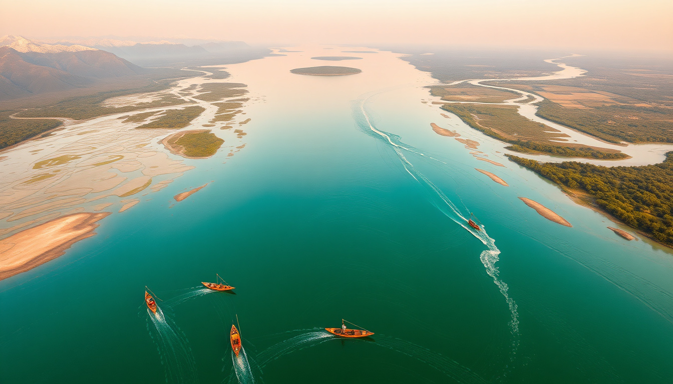
This is the wildcard river of India. The Brahmaputra is about 2,900 km long, and roughly 1,300 km flows through Indian territory (mainly Assam). What makes it special? It's a braided river—meaning it splits into multiple channels and islands, the largest being Majuli (which, sadly, is shrinking due to erosion).
The Brahmaputra is crucial for Northeast India. It's also prone to devastating floods every monsoon, which is a major environmental concern. You should know that the Brahmaputra meets the Ganges in Bangladesh, and together they form the Sundarbans delta—home to the Bengal tiger.
Southern Rivers: Godavari, Krishna, and Others
The Godavari is sometimes called the "Dakshin Ganga" (Southern Ganges) because of its cultural and economic significance to southern states. It's 1,465 km long and flows through Maharashtra, Telangana, and Andhra Pradesh.
The Krishna is 1,400 km long and is crucial for irrigation in Karnataka, Telangana, and Andhra Pradesh. These southern rivers are drier than their northern counterparts during the dry season, which has led to numerous inter-state water disputes.
The Narmada and Tapti are unique because they flow westward and pass through a rift valley. The Narmada is often called the "Marble River" because of the marble rocks found along its course in Madhya Pradesh.
| River | Length (km) | Source | Main States |
|---|---|---|---|
| Ganges | 2,525 | Gangotri, Himalayas | UP, Bihar, WB |
| Brahmaputra | 2,900 | Tibet (Kailash) | Assam, Meghalaya |
| Godavari | 1,465 | Nashik, Western Ghats | Maharashtra, AP, TG |
| Krishna | 1,400 | Mahabaleshwar, Western Ghats | Karnataka, AP, TG |
| Yamuna | 1,376 | Yamunotri, Himalayas | Uttarakhand, UP, Delhi |
| Indus | 3,180 | Tibet (Kailash) | Ladakh, J&K (mostly Pakistan) |
| Narmada | 1,312 | Amarkantak, MP | MP, Gujarat |
Lakes and Internal Drainage: The Often-Forgotten Topics
This is where many students slip up. Lakes are consistently asked in SSC CGL exams, and most candidates don't prepare them seriously. Let me change that for you right now.
India has both natural and man-made lakes. The natural ones are mostly in mountainous regions or are remnants of ancient river systems. Man-made lakes are reservoirs created by dams—which are more numerous and often more important for the economy.
Major Natural Lakes
Dal Lake in Kashmir is probably the most famous, covering about 117 square kilometers. It's a freshwater lake with floating gardens and is a major tourist attraction. In exams, Dal Lake often appears in questions about Kashmir or freshwater resources.
Wular Lake, also in Kashmir, is the largest freshwater lake in India (about 189 square kilometers). Here's what I tell students: "When you see 'largest freshwater lake' in an exam, think Wular."
Loktak Lake in Manipur is unique because it has floating masses of vegetation called "phumdis." It's a Ramsar wetland and is ecologically significant. The critically endangered Manipur brow-antlered deer lives here.
Sambhar Lake in Rajasthan is the largest saltwater lake in India. It's about 230 square kilometers and is an important source of salt. This is another favorite exam question: "Largest saltwater lake? Sambhar!"
Lake Chilika in Odisha is the largest brackish water lake in India and the second-largest coastal lagoon in the world. It's a crucial breeding ground for migratory birds and is a Ramsar site.
Vembanad Lake in Kerala is the longest lake in India (about 96 km) and is a major fishing ground. It's also a Ramsar wetland.
Man-Made Lakes and Reservoirs
India has some of the largest reservoirs in the world, created by dams. The Govind Sagar (created by the Bhakra Dam) is the largest man-made lake by surface area. The Indira Sagar (created by the Narmada Valley Project) is significant for hydroelectric power and irrigation.
These reservoirs are crucial for exam questions because they connect to dam projects, hydroelectric power, and water management policies. When a question asks about India's hydroelectric potential or irrigation capacity, these man-made lakes are the answer.
Drainage Patterns and What They Tell Us
Okay, this is where geography gets genuinely interesting. A river's drainage pattern tells us about the underlying geology and topography of a region. It's like reading the biography of the land itself.
Understanding Drainage Patterns
Dendritic Drainage (tree-like) is the most common pattern in India. It develops on horizontally layered rocks where there's no obvious structural control. The Ganges in the plains shows this pattern.
Radial Drainage occurs when rivers originate from a central upland area and flow outward in all directions. The Western Ghats show this pattern beautifully.
Trellis Drainage is common in areas with parallel mountain ranges. Rivers flow between ridges, creating a rectangular pattern. The Himalayas show this clearly.
Centripetal Drainage is rare in India but occurs when all rivers converge toward a central depression. The Sambhar Lake region shows some characteristics of this.
Why should you care about these patterns? Because examiners ask questions like "Which drainage pattern is found in the Himalayas?" And the answer is "Trellis." Simple, but easy to forget if you don't understand the concept.
The Concept of Watershed and Drainage Divide
A watershed is an area that drains into a particular river system. A drainage divide is the boundary line that separates two watersheds. Think of it as an invisible line on the landscape that determines whether water will flow into the Ganga or the Brahmaputra.
The Western Ghats, for example, form a major drainage divide. Water falling on the western slopes flows westward into the Arabian Sea, while water on the eastern slopes flows into the Bay of Bengal.
Here's a real-world exam question I've seen: "Which mountain range forms a drainage divide between the Indus and Ganga systems?" Answer: The Himalayas (specifically, various peaks along the range). These questions might seem tricky, but they're just testing whether you understand the basic concept.
Internal drainage systems are areas where rivers don't reach the ocean. In India, the Sambhar Lake region is an example—rainfall in this area eventually ends up in the lake and evaporates, rather than flowing to the sea. This is rare in India but important to know.
Why This All Matters: Rivers, Water, and India's Future
I don't want you to just memorize these facts for an exam. I want you to understand why this matters in real India.
First, water security. India's river systems sustain over a billion people. The Ganges alone supports about 400 million people. When these rivers dry up or get polluted, civilization itself is threatened. That's why UPSC keeps asking questions about river management and inter-state water disputes.
Second, agriculture. About 70% of India's agriculture depends on river irrigation. Without understanding where these rivers are, which states they flow through, and what disputes exist over their waters, you can't understand modern India's political economy.
Third, climate change. Rivers are changing. The Himalayan glaciers that feed the Indus, Ganga, and Brahmaputra are melting faster than ever. This isn't just geography—it's a looming crisis that your generation will inherit.
When you study these topics, you're not just preparing for an exam. You're understanding the skeleton of civilization. And honestly? That's what makes this subject so worth mastering.
Final Revision Points to Remember
For SSC CGL aspirants: Focus on the names of rivers, their lengths, sources, and tributaries. Know which lakes are freshwater vs. saltwater. Remember the major dam projects and which rivers they're on. That's about 80% of what you need.
For UPSC aspirants: Go deeper. Understand drainage patterns, watershed management, inter-state water disputes (Krishna waters dispute between Karnataka and Andhra Pradesh, Cauvery dispute, etc.), and climate change impacts. Read about river pollution, especially the Ganges cleanup efforts. This is where you'll differentiate yourself.
Memory trick for the four major river systems: "IGP-S" = Indus, Ganga, Peninsular rivers (flowing east/west), and Smaller systems (internal drainage). This might sound silly, but when you're tired during exam prep, silly mnemonics stick better than logical ones.
A) Sambhar Lake B) Wular Lake C) Dal Lake D) Loktak Lake
Answer: B) Wular Lake
A) It is longer than the Ganga B) It flows through southern India and is culturally significant C) It originates from the same mountain as Ganga D) It is saltwater like the Ganga delta
Answer: B) It flows through southern India and is culturally significant
A) Yamuna B) Ghaghara C) Son D) Kosi
Answer: C) Son (Son joins from the right/south bank)
A) They are the longest rivers in India B) They flow through a rift valley and flow westward C) They originate from the Himalayas D) They are the only brackish water systems
Answer: B) They flow through a rift valley and flow westward
A) Tree-like branching of rivers B) Rivers converging toward a central depression C) Radial flow from a central upland area D) Parallel tributaries flowing between ridges
Answer: D) Parallel tributaries flowing between ridges
Published by Dattatray Dagale • 08 August 2026
.jpg)
.png)



.png)



.png)
0 Comments