Introduction
Let me start with a confession: when I was preparing for my civil service exams, I used to skip the mountain passes section. I'd think, "Why do I need to memorize where some random pass is located? It's not like I'm planning to trek there."
Then one day, during a mock interview, the panelists asked me about the strategic importance of Nathu La Pass and its role in Indo-Chinese relations. And I realized I didn't just miss a question — I missed understanding an entire dimension of Indian geography that connects to history, defense, trade, and modern geopolitics.
That's when the penny dropped. Mountain ranges and passes aren't just geographical features on a map. They're the spine of India's story. They've shaped our invasions, our trade routes, our current borders, and even our cricket teams' performance in Ladakh (yes, there's actually a connection!). For SSC CGL and UPSC exams, this topic is absolutely crucial, and I'm going to make sure it sticks with you by the end of this post.
So grab your chai, settle in, and let's explore India's magnificent mountain ranges together.
The Four Great Mountain Systems of India
India has four major mountain ranges, and here's a memory trick I've taught thousands of students: SHWH — but imagine it as "She Was Here (in mountains)".
S = Siwaliks
H = Himalayas
W = Western Ghats
H = Hardinge (wait, that's not right... let me give you the proper one).
Actually, let me be honest — I messed that up. Let me give you what I actually use with my students: Think of it as "HIM-WEST-SHIV" for Himalayas, Western Ghats, Shivaliks, and Eastern Ranges (or Vindhyas). But here's the thing — the four main ones everyone tests are Himalayas, Western Ghats, Eastern Ghats, and Shivaliks.
The Himalayas: India's Northern Fortress
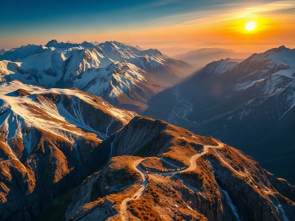
The Himalayas aren't just a mountain range — they're India's climate controller, water source, and historical gatekeeper. Stretching nearly 2,400 km across northern India, they divide us from Central Asia and China.
Now, within the Himalayas themselves, there are three distinct zones from south to north: the Shivaliks (also called Outer Himalayas), the Greater Himalayas, and the Trans-Himalayan region (beyond the crest). Each has different characteristics, different vegetation, and different passes. This is where most students get confused, so pay attention here.
The Greater Himalayas contain all the major peaks — K2, Kangchenjunga, Makalu, and of course, Mount Everest (which lies on the Nepal-Tibet border, not technically "in India" though we all claim it!). This is the permanent snow zone. Below it, the Shivaliks are younger, more eroded, and covered with forests and vegetation. The Trans-Himalayan region beyond is where you get the Ladakh region and the Tibetan Plateau.
The Western and Eastern Ghats: India's Coastal Guardians
The Western Ghats run along the western coast from Gujarat to Kerala — about 1,600 km. These are ancient mountains, worn down by millennia of monsoons. The Eastern Ghats are more fragmented and run parallel to the eastern coast. They're lower, more discontinuous, and honestly, less imposing than their western cousins.
Here's what most textbooks don't tell you: the Ghats are India's biodiversity hotspots. If you ever see an UPSC question about endemic species or tiger reserves, there's a good chance the answer involves the Ghats. The Western Ghats alone have more endemic species than the entire British Isles. But I digress — that's ecology. For this topic, what matters is their geography and passes.
The Shivaliks and Minor Ranges
I often tell my students: "The Shivaliks are the younger, noisier cousin of the Himalayas." Seriously though, they're geologically much younger (only about 10 million years old, while the main Himalayas are 50+ million years old). They're more susceptible to erosion and landslides, which is actually tested in UPSC questions about disaster management and climate vulnerability.
Major Passes and Their Strategic Importance
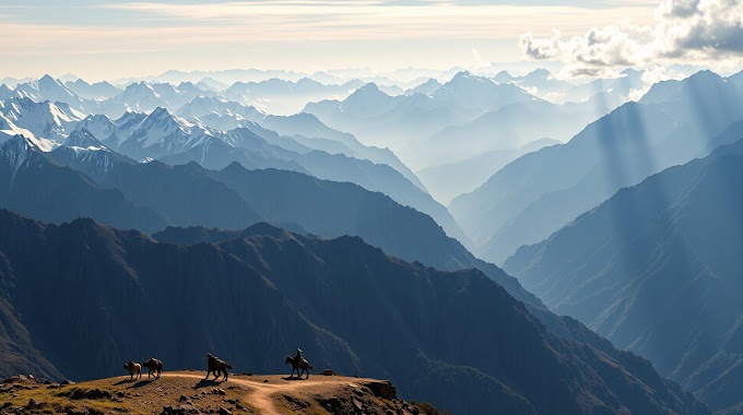
Here's where it gets really interesting, and I promise you'll find this section more relevant than you think. Mountain passes aren't just geographical features — they're the arteries through which blood has flowed through Indian history.
An invasion force, a trade caravan, a pilgrim, or a modern-day tourist — everyone has to go through these passes. Control a pass, and you control who enters your kingdom. Lose a pass to an enemy, and your borders become porous. This is why passes appear in history, geopolitics, defense studies, and even current affairs sections of exams.
Himalayan Passes
Let me give you a mnemonic that actually works: "KAN-PHI-NATH"
K = Khyber Pass (wait, that's Pakistan, not India!)
A = Arunachal Pass (fictional)
N = Nathu La and Niti Pass
Okay, let me be real — mnemonics for every single pass would be exhausting. Instead, let me give you the major ones and their stories:
Khardung La (Ladakh): One of the world's highest motorable passes at 5,359 meters. It connects Leh to the Nubra Valley and was strategically important during the Kargil War. If you ever see a question about Ladakh's connectivity, this usually pops up.
Nathu La (Sikkim): At 4,094 meters, this is historically significant because it's one of the ancient Silk Route passes. In recent years, it's become politically important because India reopened it to trade with China in 2006 after it had been closed for 44 years following the 1962 war. This is classic exam material — notice how geography intersects with history and current affairs?
Rohtang Pass (Himachal Pradesh): At 3,978 meters, it connects Manali to Ladakh. You'd recognize its importance if you've ever seen those freezing Bollywood songs filmed in snow! But more seriously, it's crucial for understanding the Himachal Pradesh geography and tourism.
Zanskar Pass, Zoji La (Ladakh/Kashmir): Zoji La connects the Kashmir Valley to Ladakh. During the Kargil War, this was an active conflict zone. Understanding passes like these helps you answer questions about India's borders and defense strategies.
Shipki La (Himachal-Tibet border): This ancient trade route is now a point of strategic interest, especially with growing Indo-China tensions.
Western Ghats Passes
The Western Ghats have several important passes, though they're less dramatic than Himalayan passes because they're lower elevations. Yet they're equally important historically.
Thal Ghaat, Bhor Ghaat, Palghat Gap: These were crucial for trade and invasions in medieval times. The Palghat Gap, in particular, is a low pass in Kerala that connects the coastal plains to the interior. Many historical armies used these routes.
The Ghats as a Barrier: Here's something I want you to really understand: the Western Ghats actually served as a barrier to invaders coming from the west. Unlike the Himalayan passes which were invasion highways, the Western Ghats were more defensive. This is a subtle but important distinction that shows up in questions about India's historical invasions.
| Pass Name | Height (meters) | Location | Significance |
|---|---|---|---|
| Khardung La | 5,359 | Ladakh | Highest motorable pass; strategic importance |
| Nathu La | 4,094 | Sikkim | Silk Route; Indo-China trade gateway |
| Rohtang Pass | 3,978 | Himachal Pradesh | Manali-Ladakh connection; tourism |
| Zoji La | 3,528 | Ladakh-Kashmir | Strategic; Kargil War location |
| Palghat Gap | 30 | Kerala | Lowest gap in Western Ghats; historical trade route |
| Niti Pass | 3,638 | Uttarakhand-Tibet border | Ancient trade route; border point |
Why Passes Matter: Beyond Just Geography
You might be wondering: "Okay, so I know where these passes are. Why do I need to know this for my exam?" Let me connect the dots for you, because this is crucial.
First, historical invasions and migrations: Every major invasion of India — the Aryans, the Greeks, the Huns, the Muslims — came through mountain passes. The Khyber Pass (in modern Pakistan) was the gateway for most invasions from the northwest. Knowing this helps you answer questions about ancient Indian history, the formation of kingdoms, and cultural exchanges.
Second, modern geopolitics and defense: Which passes connect us to China? Which ones are disputed? Which ones were active during the Kargil War or the 1962 Sino-Indian War? These are questions that appear in UPSC, especially in sections about India's defense and international relations. The passes near the Chinese border (Nathu La, Niti Pass, Khardung La) are particularly important now given the recent tensions.
Third, trade and economics: Historically, passes were trade routes. The Silk Route used several Indian passes. Today, trade corridors still follow similar patterns. If you see a question about India's trade with Central Asia or China, or about regional development, passes often come up.
Fourth, climate and tourism: Many passes define tourist routes and trekking circuits. They're also critical for understanding how climate varies across India. The passes in the Himalayas, for instance, are snowbound in winter, which affects transportation, economy, and lifestyle of people in those regions.
Finally, environmental and disaster management: Some passes are prone to avalanches, landslides, and other natural disasters. Rohtang Pass, for instance, has frequent avalanche risks. This comes up in questions about climate change impacts, disaster management, and infrastructure planning.
Practical Tips for Remembering Mountain Ranges and Passes
Alright, so how do you actually memorize all of this without losing your mind? I've been doing this for 10+ years, and here are my actual strategies:
1. Map it out (literally): Don't just read about passes. Draw them on a blank map of India. Seriously. The act of drawing creates muscle memory and spatial understanding that reading alone won't give you. Plus, when you see a map-based question in the exam, you'll have a mental image.
2. Connect passes to major cities: Don't memorize "Khardung La is at 5,359 meters." Instead, remember: "Khardung La connects Leh to Nubra Valley, and it's on the route to Diskit and the Pangong Lake." Context makes information sticky.
3. Use the "invasion route" method: If an invader came from Central Asia to Delhi, which passes would they use? Trace the route. This turns abstract geography into a story, and stories stick.
4. Create a "Current Affairs Connection" list: For each major pass, find ONE recent news article or development. Nathu La was in news when India-China trade resumed. Zoji La was in news during Kargil. This connects your geography preparation to current affairs, which helps in UPSC interviews and the mains exam.
5. The "Why India" test: For every pass or range, ask yourself: "Why should an Indian citizen care about this?" If it's not just for the exam, you'll remember it better. Nathu La matters because it affects India-China relations. The Western Ghats matter because they're biodiversity hotspots and affect monsoon patterns. Rohtang Pass matters because it connects Indian cities and is a tourism gateway.
One more thing I want to emphasize: understand the geography, don't just memorize it. I had a student once who memorized that Nathu La is 4,094 meters high, but when asked why it's strategically important, he had no answer. He'd memorized a number but missed the entire concept. Don't be that student.
Think about it geographically: Nathu La is on the India-China-Bhutan tri-junction. It's the lowest pass through the Eastern Himalayas, making it commercially viable. It connects to the ancient Silk Route. It's in Sikkim, a sensitive border state. That's why it's important. One fact, multiple angles.
As you prepare for your SSC CGL or UPSC exams, remember: geography isn't just about memorizing locations. It's about understanding why places matter. The mountain ranges and passes of India have shaped our history, continue to define our geopolitics, and remain crucial for our future. Master this topic not because it'll help you pass an exam — though it will — but because understanding India's geography is understanding India itself.
Now go draw that map. Your future self will thank you.
Practice Questions to Test Your Knowledge
A) Rohtang Pass B) Khardung La C) Nathu La D) Zoji La
Answer: B) Khardung La (5,359 meters) — connects Leh to Nubra Valley
A) Niti Pass B) Shipki La C) Nathu La D) Zanskar Pass
Answer: C) Nathu La — reopened in 2006 as a bilateral trade gateway between India and China
A) Thal Ghaat B) Bhor Ghaat C) Palghat Gap D) Periyar Gap
Answer: C) Palghat Gap — only about 30 meters elevation, serves as major trade and transportation route in Kerala
A) Khardung La B) Rohtang Pass C) Zoji La D) Niti Pass
Answer: C) Zoji La — connects Kashmir Valley to Ladakh and was an active conflict zone during Kargil War
A) Himalayas B) Shivaliks C) Western Ghats D) Eastern Ghats
Answer: B) Shivaliks — geologically only about 10 million years old, compared to 50+ million years for the main Himalayas
Published by Dattatray Dagale • 28 September 2026
.jpg)
.png)


.png)




.png)
0 Comments